- Utah constituent state of the United States of America

Содержание
- 2. Utah constituent state of the United States of America. Mountains, high plateaus, and deserts form most
- 3. Utah represents a unique episode in the settlement of the United States, a story of a
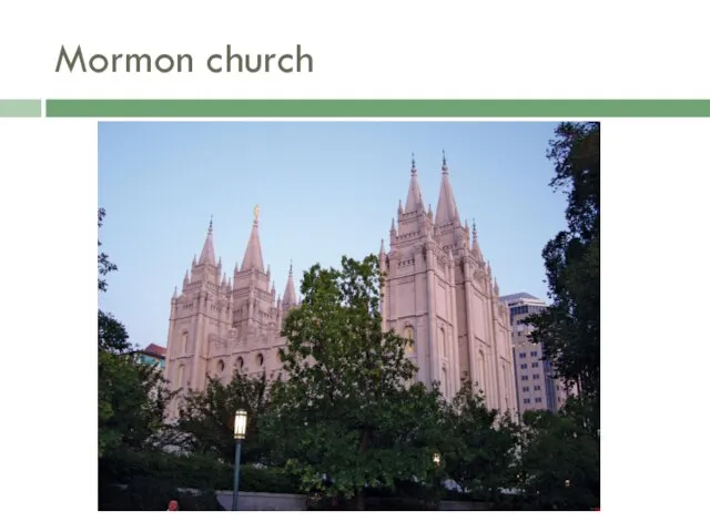
- 4. Mormon church
- 5. Before the arrival of the first Mormon pioneers, Utah was inhabited by several Native American tribes,
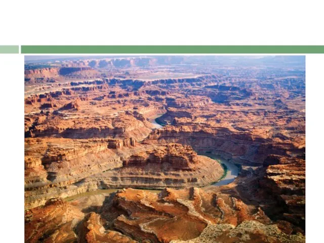
- 6. Relief The Colorado Plateau comprises slightly more than half of Utah. Relatively high in elevation, this
- 7. The western third of the state is part of the Great Basin of the Basin and
- 8. Elevations range from 13,528 feet (4,123 metres) at Kings Peak in the Uintas to about 2,350
- 9. Drainage Utah contributes to three major drainage areas—the Colorado and Columbia rivers and the Great Basin.
- 11. Irrigation was among the first Mormon pioneer efforts in 1847, and since then irrigation and water
- 12. Soils The desert soil that covers most of the state lacks many organic materials but contains
- 14. Скачать презентацию
Слайд 3Utah represents a unique episode in the settlement of the United States,
Utah represents a unique episode in the settlement of the United States,
Слайд 4Mormon church
Mormon church
Слайд 5Before the arrival of the first Mormon pioneers, Utah was inhabited by
Before the arrival of the first Mormon pioneers, Utah was inhabited by
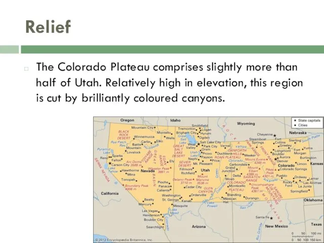
Слайд 6Relief
The Colorado Plateau comprises slightly more than half of Utah. Relatively high in elevation, this
Relief
The Colorado Plateau comprises slightly more than half of Utah. Relatively high in elevation, this
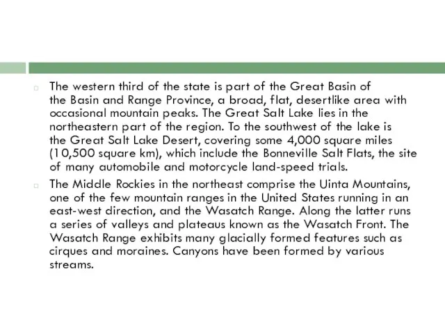
Слайд 7The western third of the state is part of the Great Basin of the Basin
The western third of the state is part of the Great Basin of the Basin
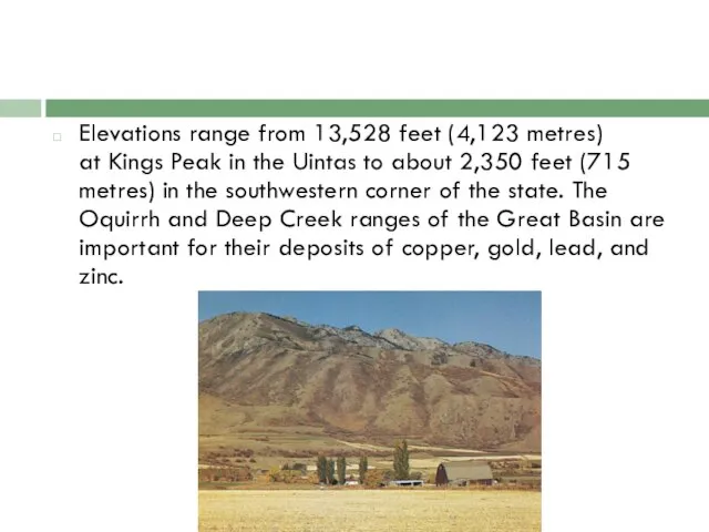
Слайд 8Elevations range from 13,528 feet (4,123 metres) at Kings Peak in the Uintas to
Elevations range from 13,528 feet (4,123 metres) at Kings Peak in the Uintas to
Слайд 9Drainage
Utah contributes to three major drainage areas—the Colorado and Columbia rivers and the Great Basin. The
Drainage
Utah contributes to three major drainage areas—the Colorado and Columbia rivers and the Great Basin. The
Слайд 11Irrigation was among the first Mormon pioneer efforts in 1847, and since
Irrigation was among the first Mormon pioneer efforts in 1847, and since
Слайд 12Soils
The desert soil that covers most of the state lacks many organic
Soils
The desert soil that covers most of the state lacks many organic
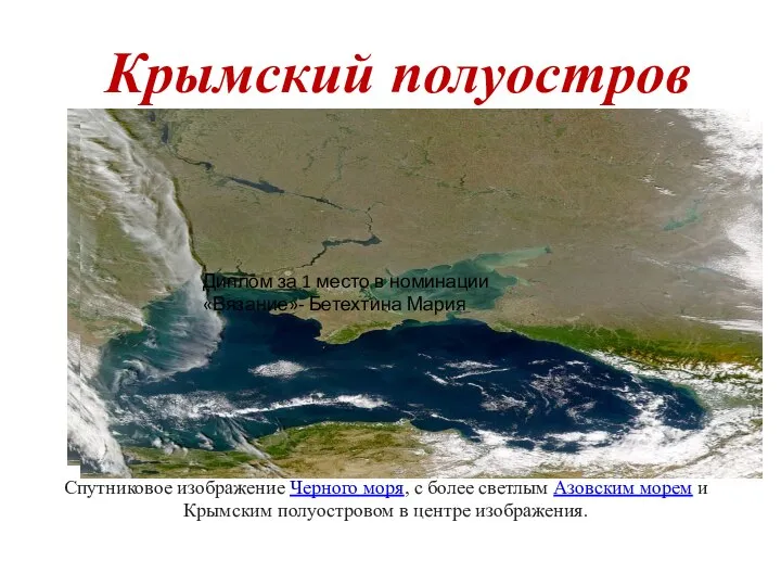 Крымский полуостров
 Эквадор. Государственное устройство
 Экскурсионный маршрут Музей МОУ Школа № 8 имени А.В. Гавришенко города Донецка
 Landeskunde
 Верховодка. Почва
 Бескрайняя Россия
 Слои твердой Земли
 Реки Удмуртии
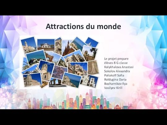 Attractions_du_monde
 Чусовой. Свобода движения
 Строение и свойства географической оболочки. Природный комплекс
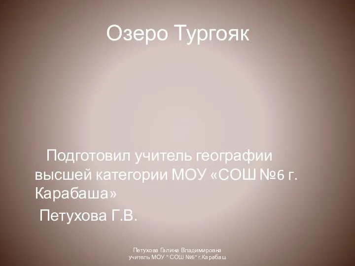 Озеро Тургояк
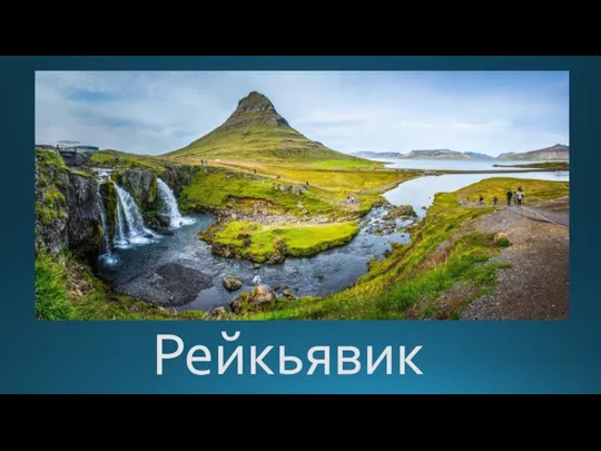 Национальный парк Тингветлир Золотое кольцо
 Аграрно-промышленное Зауралье
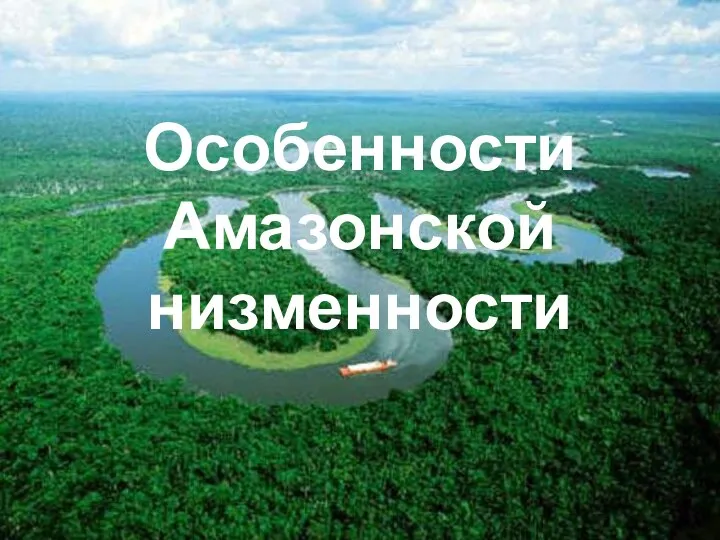 Особенности Амазонской низменности
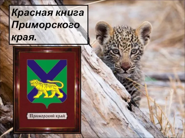 Красная книга Приморского края - презентация к уроку Географии_
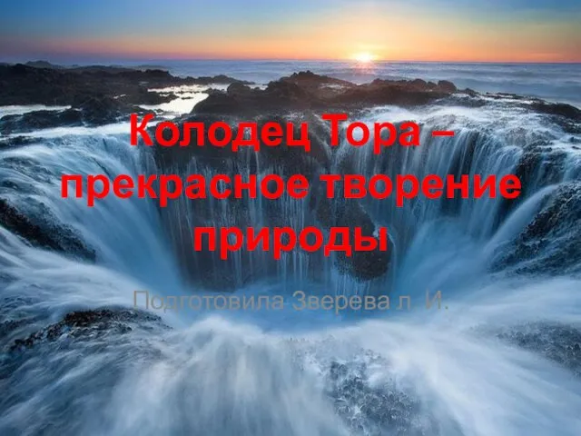 Колодец Тора – прекрасное творение природы
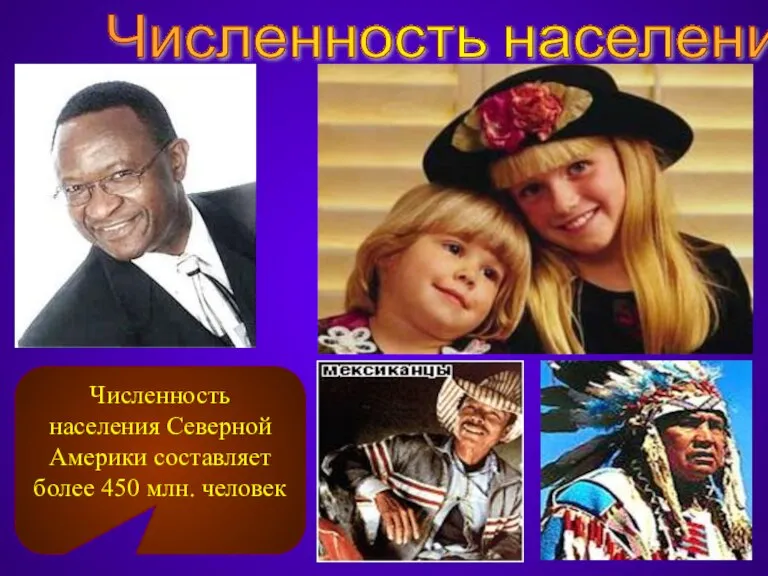 Численность населения Северной Америки
 Города тундры: Североморск
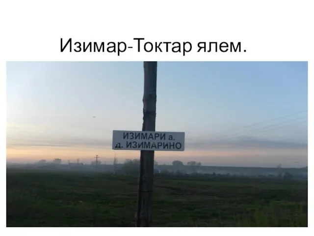 Изимар-Токтар ялем
 Презентация на тему Человечество на Земле
 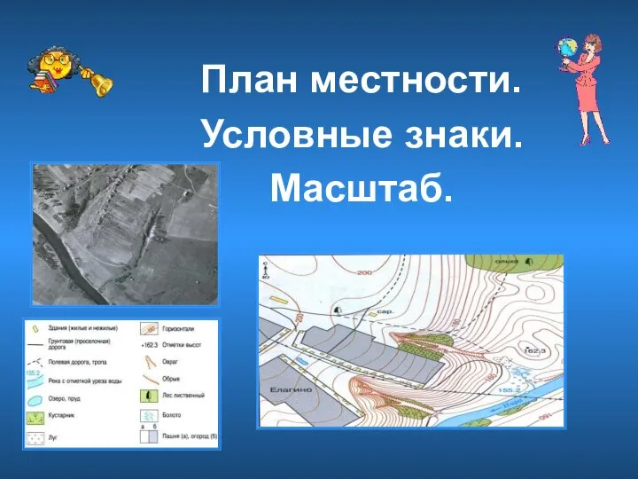 План местности, условные знаки, масштаб
 Топографические карты и знаки
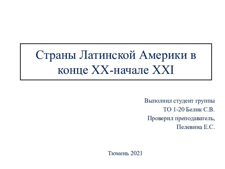 Страны Латинской Америки в конце XX - начале XXI века
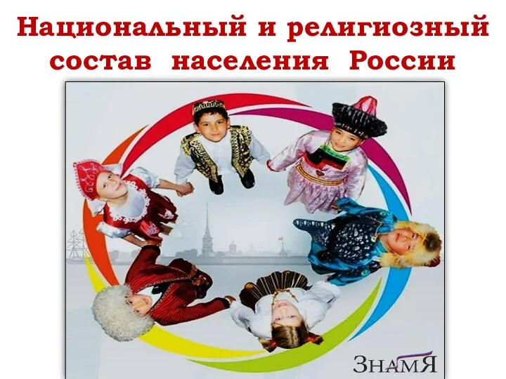 Национальный и религиозный состав населения России
 Презентация на тему Географические планы и карты
  Весна в Тамбовской глубинке. Фоторепортаж
 Урал: Население и города (§38)