- History of state boarders changes in India

Содержание
- 2. Information Name : History of state boarders changes Country : India
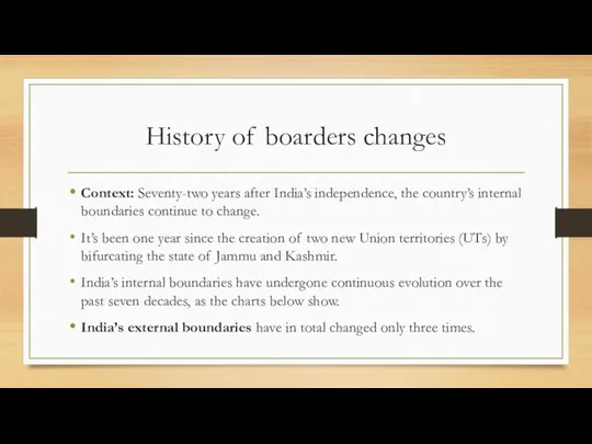
- 3. History of boarders changes Context: Seventy-two years after India’s independence, the country’s internal boundaries continue to
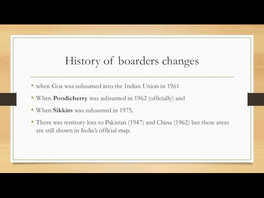
- 4. History of boarders changes when Goa was subsumed into the Indian Union in 1961 When Pondicherry
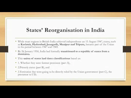
- 5. States’ Reorganisation in India While most regions in British India achieved independence on 15 August 1947,
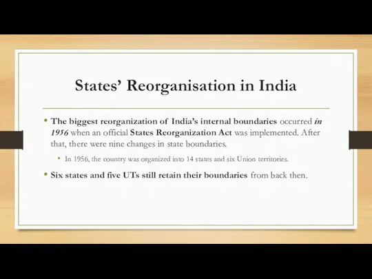
- 6. States’ Reorganisation in India The biggest reorganization of India’s internal boundaries occurred in 1956 when an
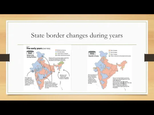
- 7. State border changes during years
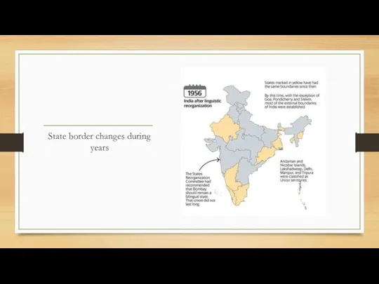
- 8. State border changes during years
- 9. About States’ reorganisation in India In 1947, India consisted of 571 princely states that were combined
- 10. About States’ reorganisation in India The government did not agree with the recommendations fully but divided
- 12. Скачать презентацию
Слайд 3History of boarders changes
Context: Seventy-two years after India’s independence, the country’s internal boundaries
History of boarders changes
Context: Seventy-two years after India’s independence, the country’s internal boundaries
Слайд 4History of boarders changes
when Goa was subsumed into the Indian Union in
History of boarders changes
when Goa was subsumed into the Indian Union in
Слайд 5States’ Reorganisation in India
While most regions in British India achieved independence on
States’ Reorganisation in India
While most regions in British India achieved independence on
Слайд 6States’ Reorganisation in India
The biggest reorganization of India’s internal boundaries occurred in 1956 when an
States’ Reorganisation in India
The biggest reorganization of India’s internal boundaries occurred in 1956 when an
Слайд 7State border changes during years
State border changes during years
Слайд 8State border changes during years
State border changes during years
Слайд 9About States’ reorganisation in India
In 1947, India consisted of 571 princely states
About States’ reorganisation in India
In 1947, India consisted of 571 princely states
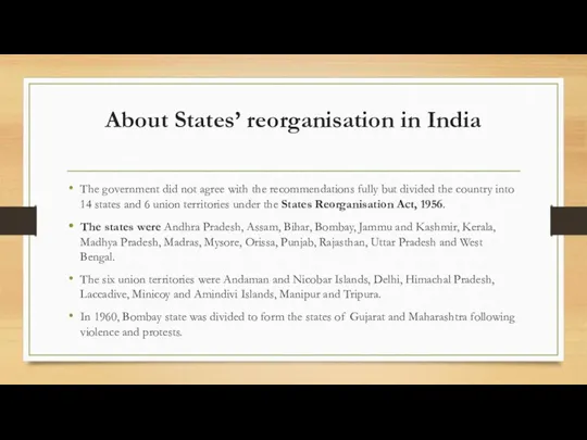
Слайд 10About States’ reorganisation in India
The government did not agree with the recommendations
About States’ reorganisation in India
The government did not agree with the recommendations
 Слушается дело об убийстве царевича Димитрия в городе Угличе
 985909
 Политические реформы 1906-07 годов
 Моя семья в летописи Великой Отечественной. Соколик Леонид Ионович 1923-1999
 Культура России XVIII века
 Записки краеведа
 Отдел по делам архивов администрации Чухломского Муниципального района Костромской области
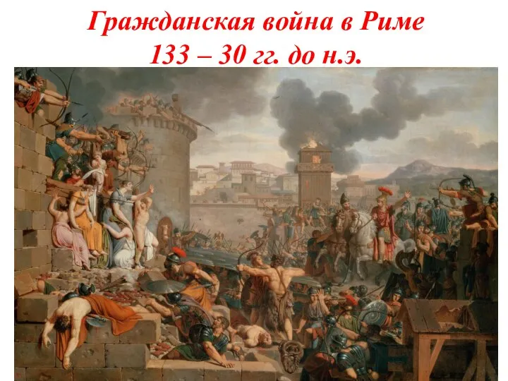 Гражданская война в Риме 133 – 30 гг. до н.э. Земельный закон братьев Гракхов
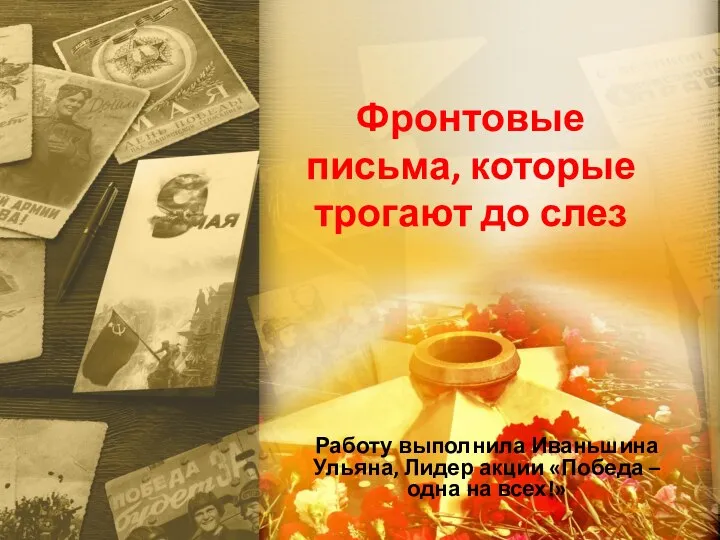 Фронтовые письма, которые трогают до слёз
 Общественно-политические и научно-исторические дискуссии о целесообразности участия СССР в гражданской войне в Афганистане в 1979
  Страницы истории России XIX века. Тест
 Народы Российской империи в XVIII в
 Благословенное Воинство Русское
 Город воин
 Олимпийские игры (История возникновения)
 Авиационная промышленность начала ХХ века
 На пути к Новому времени
 Презентация на тему Первые христиане и их учение
  Монголо - татарское нашествие и иго. Александр Невский (урок 3)
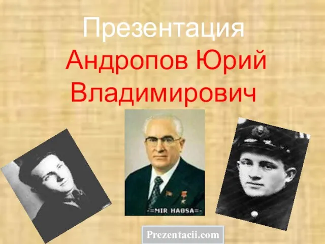 Презентация на тему Андропов презентация
  Викторина. Всемирная история
 Последняя война Российской империи
 Представление народа о земле
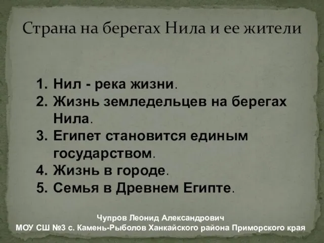 Презентация на тему Страна на берегах Нила и ее жители
 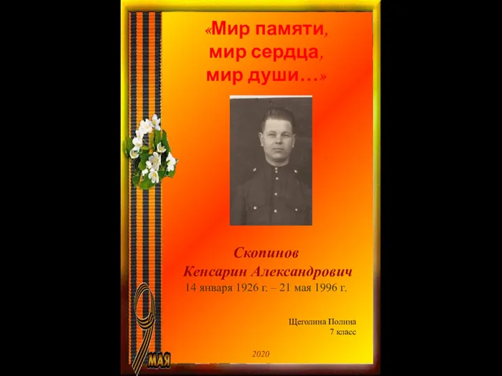 Прадед - Скопинов Кенсарин Александрович. 7 Класс
 Презентация на тему Распространение Реформации в Европе. Контрреформация (7 класс)
  Героизм гвардии сержанта Черняк А.Г. Выдающиеся личности края
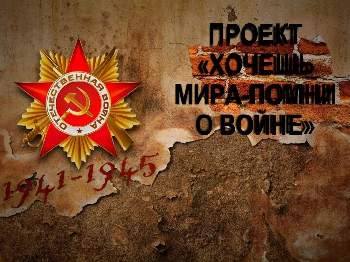 Хочешь мира - помни о войне