- Chatyr tau

Содержание
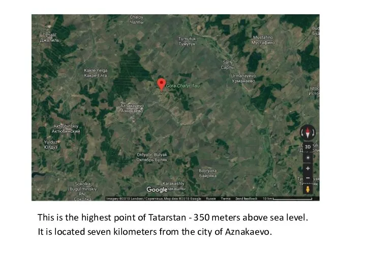
- 2. This is the highest point of Tatarstan - 350 meters above sea level. It is located
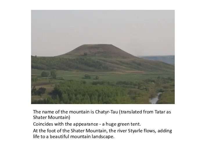
- 3. The name of the mountain is Chatyr-Tau (translated from Tatar as Shater Mountain) Coincides with the
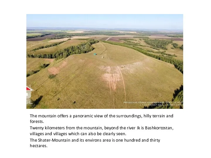
- 4. The mountain offers a panoramic view of the surroundings, hilly terrain and forests. Twenty kilometers from
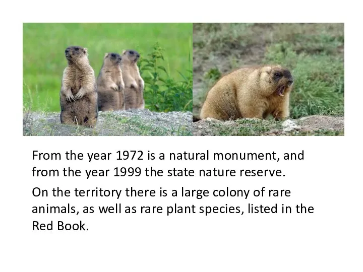
- 5. From the year 1972 is a natural monument, and from the year 1999 the state nature
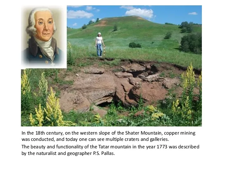
- 6. In the 18th century, on the western slope of the Shater Mountain, copper mining was conducted,
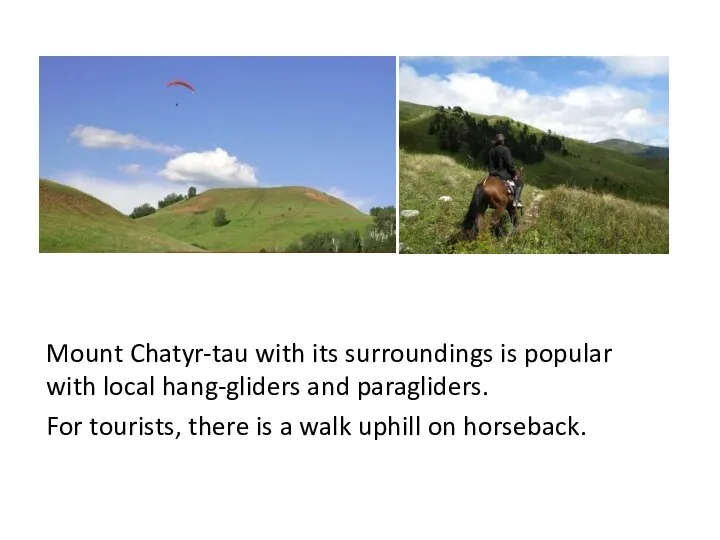
- 7. Mount Chatyr-tau with its surroundings is popular with local hang-gliders and paragliders. For tourists, there is
- 9. Скачать презентацию
Слайд 3The name of the mountain is Chatyr-Tau (translated from Tatar as Shater
The name of the mountain is Chatyr-Tau (translated from Tatar as Shater
Слайд 4The mountain offers a panoramic view of the surroundings, hilly terrain and
The mountain offers a panoramic view of the surroundings, hilly terrain and
Слайд 5From the year 1972 is a natural monument, and from the year
From the year 1972 is a natural monument, and from the year
Слайд 6In the 18th century, on the western slope of the Shater Mountain,
In the 18th century, on the western slope of the Shater Mountain,
Слайд 7Mount Chatyr-tau with its surroundings is popular with local hang-gliders and paragliders.
For
Mount Chatyr-tau with its surroundings is popular with local hang-gliders and paragliders.
For
 Research report
 ОГЭ Письменная часть
 Verbs
Verbs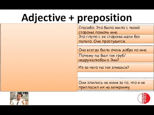 Прилагательное + предлог
 Аудио и чтение
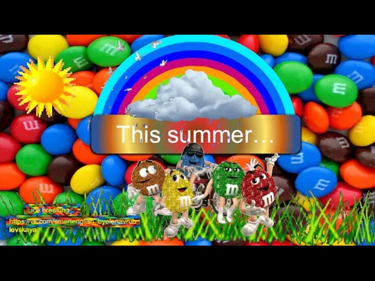 This summer…
 Презентация на тему ГЛАГОЛ TO BE В PAST SIMPLE
  Порядковые числительные (Ordinal numbers)
 Grammar
 Famous actors and actresses
 Тема: Развитие творческих способностей учащихся начальной школы в процессе изучения английского языка
  Health Problems
 Am, is, are
 Today we are going to speak about Jim's birthday
 The Perfect Tenses (Active)
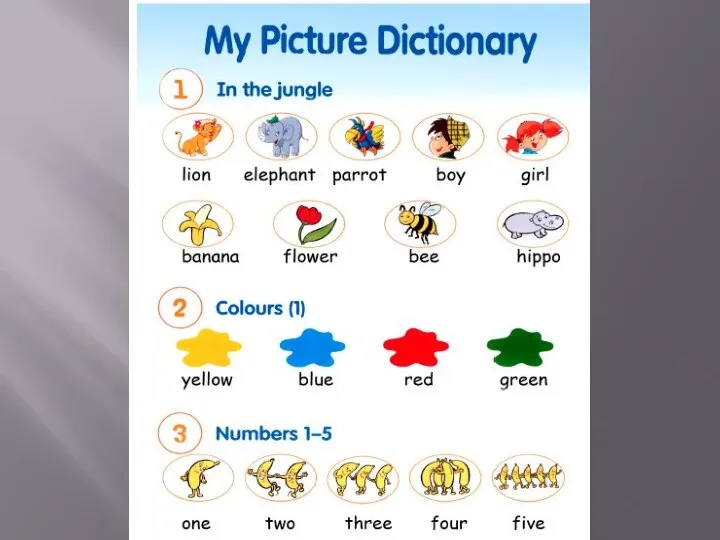 Who is it
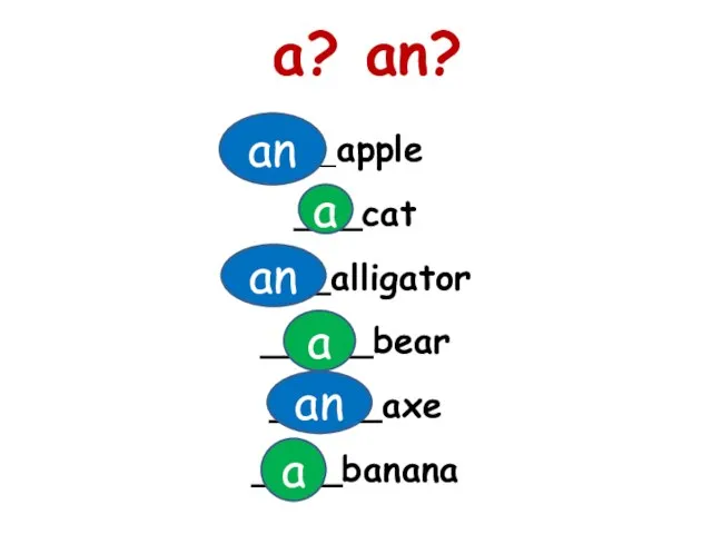 A? an?
 Family and Friends
 Practical english guess the women
 School and education
 Чтение -e- в открытом и закрытом слогах
 Writing a Story
 2 3 лекция syntax
 Презентация про Германию
 Zoroastrianism
 Phonics digraphs
 Countries of the future
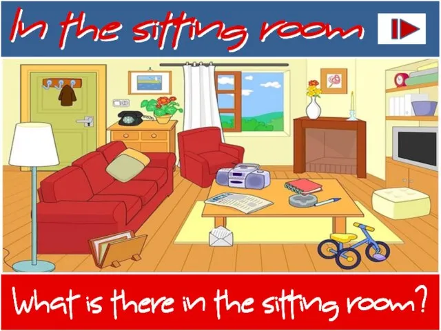 In the sitting room