- Verkhnevilyuisky ulus

Содержание
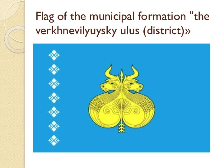
- 2. Flag of the municipal formation "the verkhnevilyuysky ulus (district)»
- 3. Description and symbolism Flag of the municipal district "verkhnevilyuysky ulus (district)" is a flag of rectangular
- 4. Verkhnevilyuysky ulus is one of the districts of the Republic of Sakha (Yakutia).The district center is
- 5. Geography Territory — 43,17 thousand km2. Bounded on the North from the Olenek, in North-East of
- 6. Population Population — 21496 man (2007). Population density of 0.5 persons/km2.Ethnic composition of the district according
- 7. Administrative division The composition of the district consists of 21 municipalities and 29 town uniting points[2]:
- 8. rural settlement Kyrykyyskaya nasleg (village Karaky), rural settlement Magalski nasleg (village Kharbala, the village of Csenger),
- 9. Economy Agriculture The economy is based on agriculture. The main branch of livestock breeding (meat and
- 10. Transport and communications .Road and river transport, airport, Telegraph, telephone, Internet, in 2005, the pipeline. On
- 11. Industry . Industrial production: forestry and wood processing, hunting and fishing, transport services.
- 12. Education Despite the relatively small size of the area is one of the main "suppliers" of
- 13. Famous people Zolotarev, Nikolai Gavrilovich (1908-1995) — the Yakut writer, better known under the pseudonym Nicholas
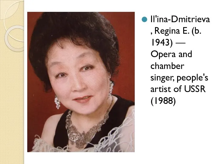
- 14. Il'ina-Dmitrieva, Regina E. (b. 1943) — Opera and chamber singer, people's artist of USSR (1988)
- 16. Скачать презентацию
Слайд 3Description and symbolism
Flag of the municipal district "verkhnevilyuysky ulus (district)" is a
Description and symbolism
Flag of the municipal district "verkhnevilyuysky ulus (district)" is a
Слайд 4Verkhnevilyuysky ulus is one of the districts of the Republic of Sakha
Verkhnevilyuysky ulus is one of the districts of the Republic of Sakha
Слайд 5Geography
Territory — 43,17 thousand km2. Bounded on the North from the Olenek,
Geography
Territory — 43,17 thousand km2. Bounded on the North from the Olenek,
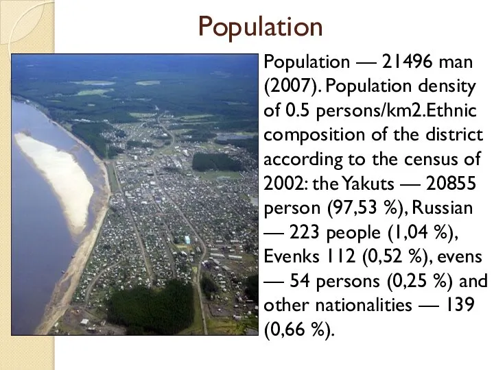
Слайд 6Population
Population — 21496 man (2007). Population density of 0.5 persons/km2.Ethnic composition of
Population
Population — 21496 man (2007). Population density of 0.5 persons/km2.Ethnic composition of
Слайд 7Administrative division
The composition of the district consists of 21 municipalities and 29
Administrative division
The composition of the district consists of 21 municipalities and 29
Слайд 8rural settlement Kyrykyyskaya nasleg (village Karaky),
rural settlement Magalski nasleg (village Kharbala, the
rural settlement Kyrykyyskaya nasleg (village Karaky),
rural settlement Magalski nasleg (village Kharbala, the
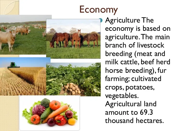
Слайд 9Economy
Agriculture The economy is based on agriculture. The main branch of livestock
Economy
Agriculture The economy is based on agriculture. The main branch of livestock
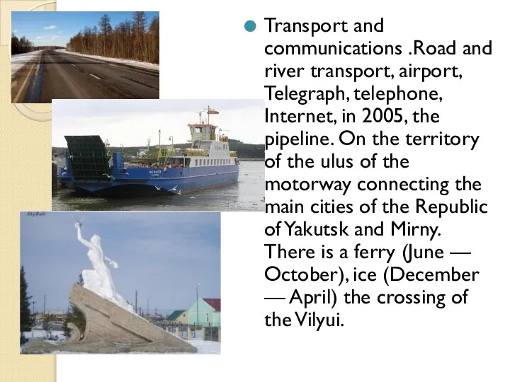
Слайд 10Transport and communications .Road and river transport, airport, Telegraph, telephone, Internet, in
Transport and communications .Road and river transport, airport, Telegraph, telephone, Internet, in
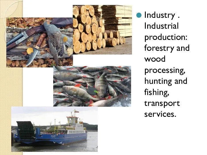
Слайд 11Industry . Industrial production: forestry and wood processing, hunting and fishing, transport
Industry . Industrial production: forestry and wood processing, hunting and fishing, transport
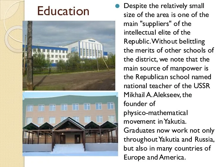
Слайд 12Education
Despite the relatively small size of the area is one of the
Education
Despite the relatively small size of the area is one of the
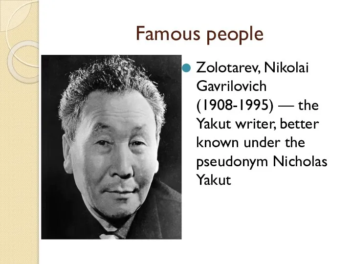
Слайд 13Famous people
Zolotarev, Nikolai Gavrilovich (1908-1995) — the Yakut writer, better known under
Famous people
Zolotarev, Nikolai Gavrilovich (1908-1995) — the Yakut writer, better known under
Слайд 14Il'ina-Dmitrieva, Regina E. (b. 1943) — Opera and chamber singer, people's artist
Il'ina-Dmitrieva, Regina E. (b. 1943) — Opera and chamber singer, people's artist
 Витус Беринг - первый русский мореплаватель?
 Реки Кировской области
 Великие географические открытия
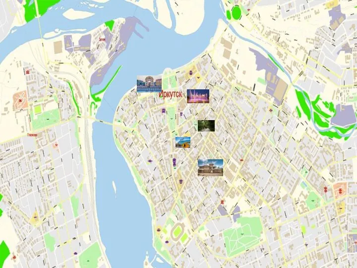 Карта Иркутска
 Основы математической обработки результаов нивелирования трассы. Лекция 6
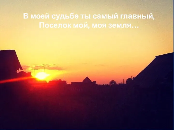 Посёлок Усть-Берёзовка
 Путешествие по России. Город Новосибирск
 Профессиональное применение геодезического оборудования. Угловые и линейные измерения
 Ледники
 Предсказатели землетрясения
 Политическая карта мира. Форма правления. Учебный тренажер и проверочный тест - презентация к уроку Географии__
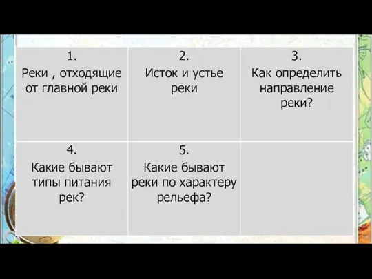 Реки, отходящие от главной реки
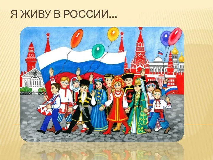 Я живу в России
 Соединённые Штаты Америки
 Путешествуем по восемнадцати столицам
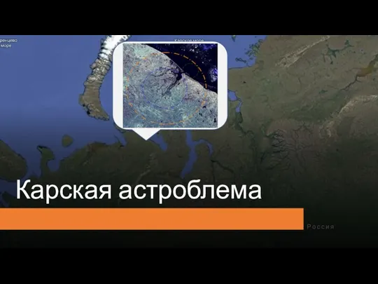 Карская астроблема
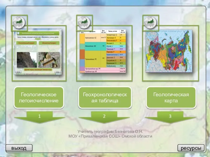 Геологическое летоисчисление
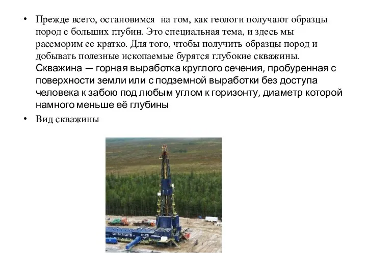 Палеонтология
 Германия. Западная Европа
 Основы стратиграфии
 6_tema_7_kl
 Внутреннее строение Земли
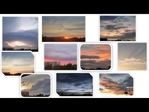 Облака (фото)
 Исследовательская работа Знай край. Город Рязань
 Презентация к уроку географии по теме «Западная Сибирь» в 8 классе учителя географии МБОУ СОШ с.Онор Сахалинской области Зайцевой
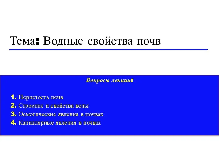 Водные свойства почв
 Проверка знаний по теме Гидросфера
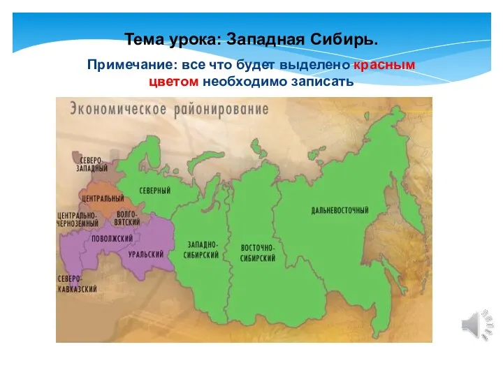 Западная Сибирь