- “Multirotor UAV in project 14.B37.21.1243” Vyacheslav Barbasov, Pavel Orlov

Содержание
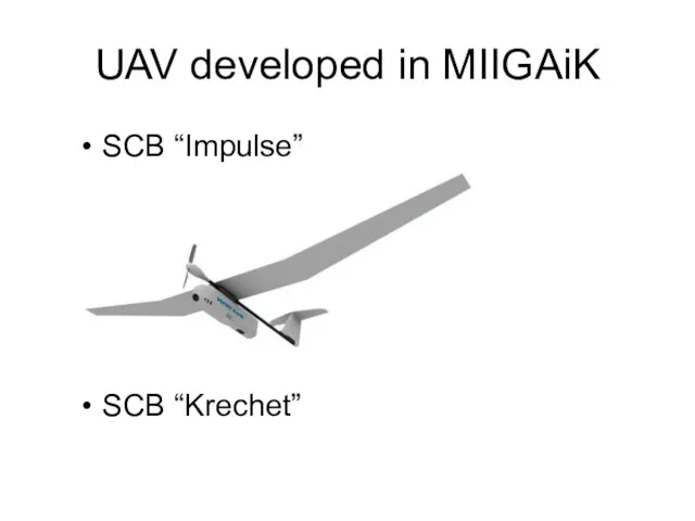
- 2. UAV developed in MIIGAiK SCB “Impulse” SCB “Krechet”
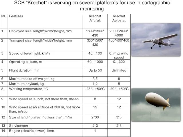
- 3. SCB ”Krechet” is working on several platforms for use in cartographic monitoring
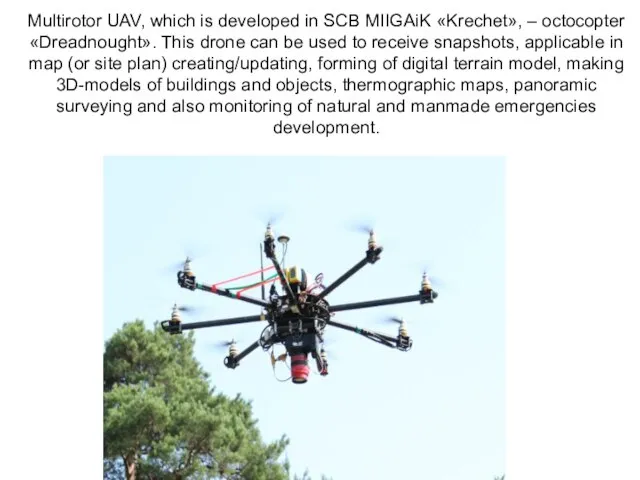
- 5. Multirotor UAV, which is developed in SCB MIIGAiK «Krechet», – octocopter «Dreadnought». This drone can be
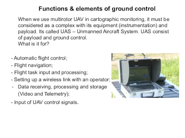
- 6. Functions & elements of ground control When we use multirotor UAV in cartographic monitoring, it must
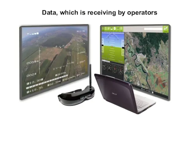
- 7. Data, which is receiving by operators
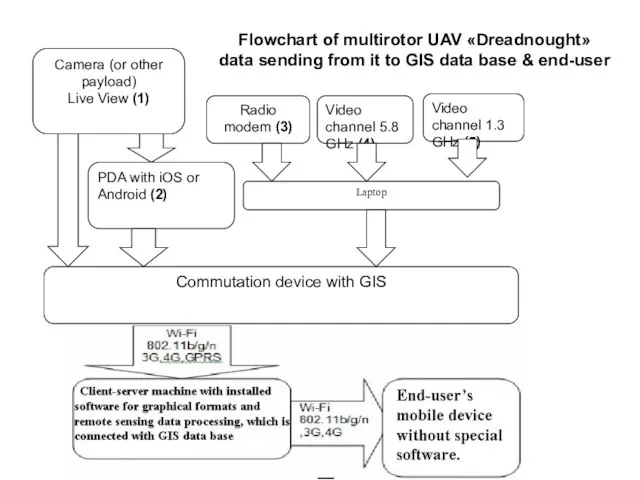
- 8. Flowchart of multirotor UAV «Dreadnought» data sending from it to GIS data base & end-user
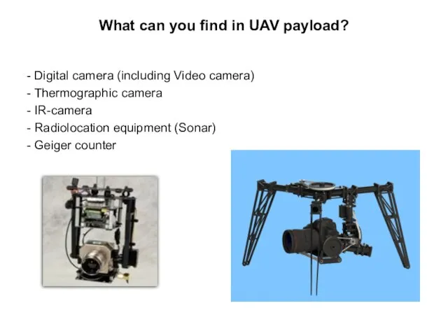
- 9. What can you find in UAV payload? - Digital camera (including Video camera) - Thermographic camera
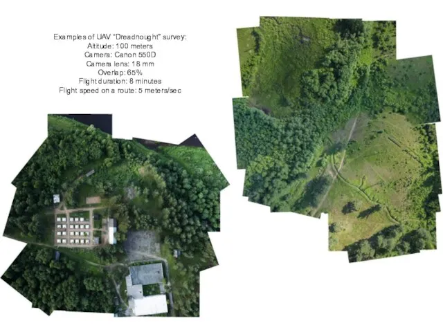
- 10. Examples of UAV “Dreadnought” survey: Altitude: 100 meters Camera: Canon 550D Camera lens: 18 mm Overlap:
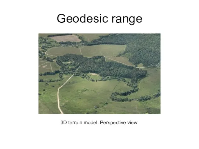
- 11. Geodesic range 3D terrain model. Perspective view
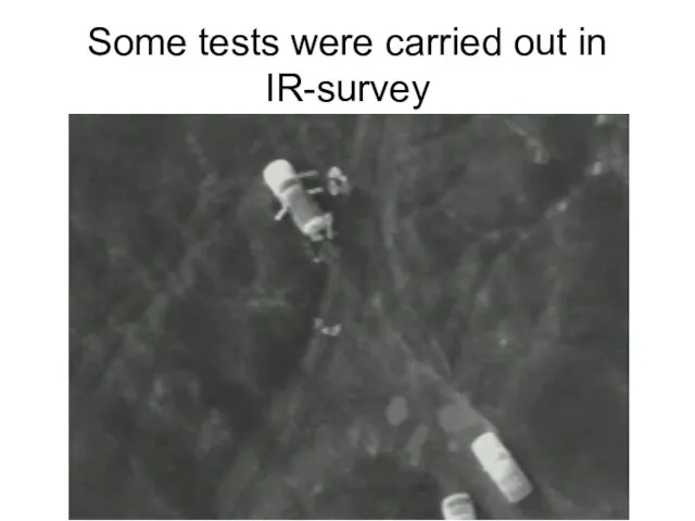
- 12. Some tests were carried out in IR-survey
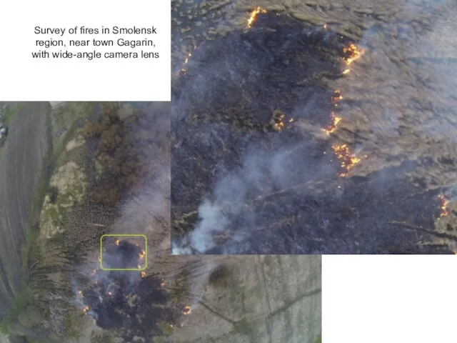
- 13. Survey of fires in Smolensk region, near town Gagarin, with wide-angle camera lens
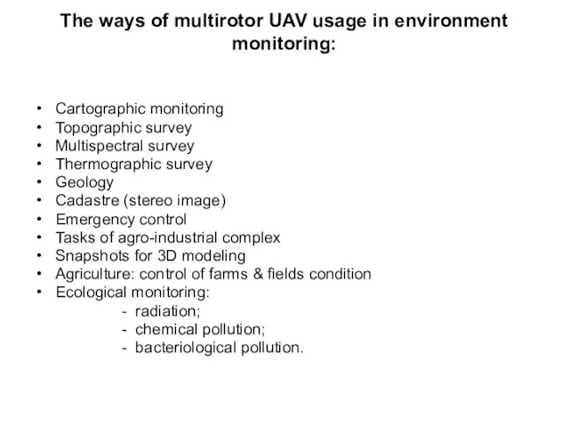
- 14. The ways of multirotor UAV usage in environment monitoring: Cartographic monitoring Topographic survey Multispectral survey Thermographic
- 16. Скачать презентацию
Слайд 3SCB ”Krechet” is working on several platforms for use in cartographic monitoring
SCB ”Krechet” is working on several platforms for use in cartographic monitoring
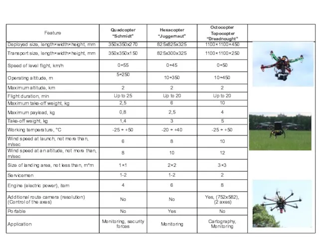
Слайд 5Multirotor UAV, which is developed in SCB MIIGAiK «Krechet», – octocopter «Dreadnought». This
Multirotor UAV, which is developed in SCB MIIGAiK «Krechet», – octocopter «Dreadnought». This
Слайд 6Functions & elements of ground control
When we use multirotor UAV in
Functions & elements of ground control
When we use multirotor UAV in
Слайд 7Data, which is receiving by operators
Data, which is receiving by operators
Слайд 8Flowchart of multirotor UAV «Dreadnought»
data sending from it to GIS data
Flowchart of multirotor UAV «Dreadnought» data sending from it to GIS data
Слайд 9What can you find in UAV payload?
- Digital camera (including Video camera)
-
What can you find in UAV payload?
- Digital camera (including Video camera)
-
Слайд 10Examples of UAV “Dreadnought” survey:
Altitude: 100 meters
Camera: Canon 550D
Camera lens: 18 mm
Overlap:
Examples of UAV “Dreadnought” survey: Altitude: 100 meters Camera: Canon 550D Camera lens: 18 mm Overlap:
Слайд 11Geodesic range
3D terrain model. Perspective view
Geodesic range
3D terrain model. Perspective view
Слайд 12Some tests were carried out in IR-survey
Some tests were carried out in IR-survey
Слайд 13Survey of fires in Smolensk region, near town Gagarin,
with wide-angle camera
Survey of fires in Smolensk region, near town Gagarin, with wide-angle camera
Слайд 14The ways of multirotor UAV usage in environment monitoring:
Cartographic monitoring
Topographic survey
Multispectral survey
Thermographic
The ways of multirotor UAV usage in environment monitoring:
Cartographic monitoring
Topographic survey
Multispectral survey
Thermographic
 Презентация на тему Резьба по дереву
  Серебряный браслет
 Презентация на тему Обрывная аппликация из бумаги на бумажной основе
 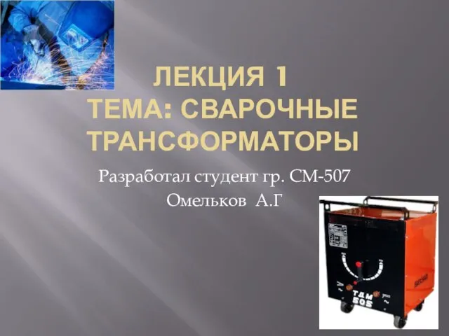 Презентация на тему Сварочные трансформаторы
  Презентация на тему Мастер - классе по созданию мягкой игрушки
  Презентация на тему Батик
  Вязание на спицах 4 класс - презентация_
 Творческий отчет Салат «Нежный эксклюзив»
 Презентация на тему: Пояс, сплетённый из лент
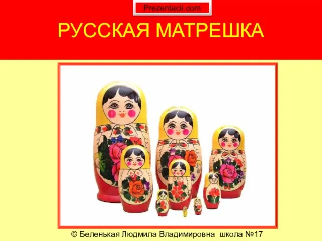 Презентация на тему Русская игрушка - Матрешка
 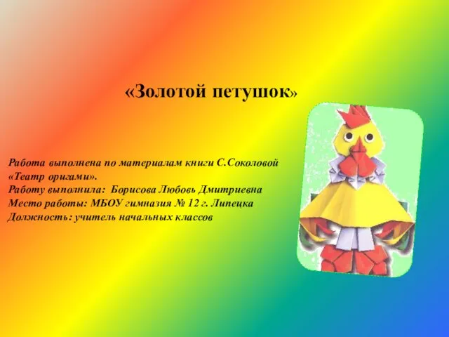 Золотой петушок - презентация к уроку Технологии_
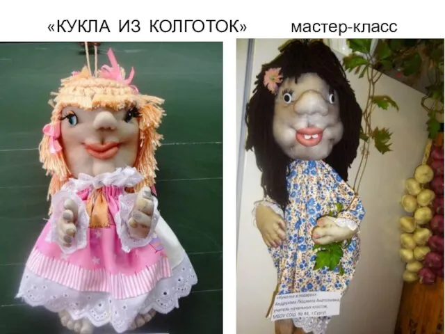 Презентация на тему Куклы из колготок
 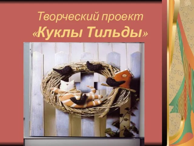 Творческий проект «Куклы Тильды»
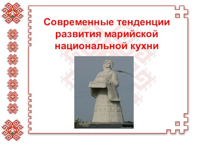 Современные тенденции развития марийской национальной кухни - презентация к уроку Технологии
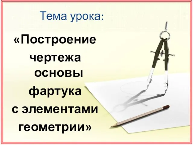 Построение чертежа основы фартука с элементами геометрии - презентация к уроку Технологии_
 Презентация на тему Нарезание наружной и внутренней резьбы
  Занятия аппликацией как средство развития творчества детей Аппликация - наиболее простой и доступный способ создания художестве
 Оформление интерьера квартиры миниатюрами с вышивкой - презентация к уроку Технологии_
 Презентация на тему: Магия металла: Плетение из проволоки
 Презентация на тему Щепа. Роспись по лубу и дереву
 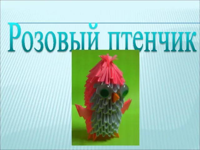 Розовый птенчик - презентация к уроку Технологии_
 Презентация на тему Сервировка праздничного стола
  муниципальное бюджетное общеобразовательное учреждение «Средняя общеобразовательная школа №4 п. Тавричанка Надеждинского район
 Плетёные листья
 Презентация на тему: Домашняя Масленица
 Презентация на тему Гигиена кожи, одежды и обуви
  Натуральные волокна. Хлопок. Урок технологии (швейное дело) 5 класс для учащихся СКОШ VIII вида Учитель технологии: Авдонина Елена
 Презентация на тему Современное декоративное искусство. Сухая аппликация