- Презентация на тему: Рельеф Казахстана

Содержание
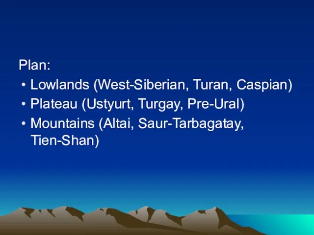
- 2. Plan: Lowlands (West-Siberian, Turan, Caspian) Plateau (Ustyurt, Turgay, Pre-Ural) Mountains (Altai, Saur-Tarbagatay, Tien-Shan)
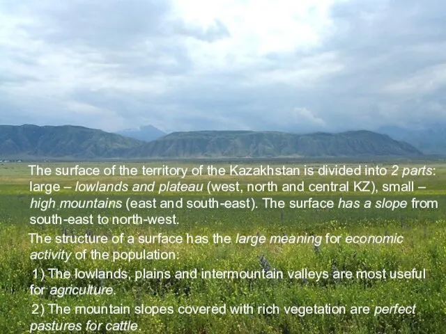
- 3. The surface of the territory of the Kazakhstan is divided into 2 parts: large – lowlands
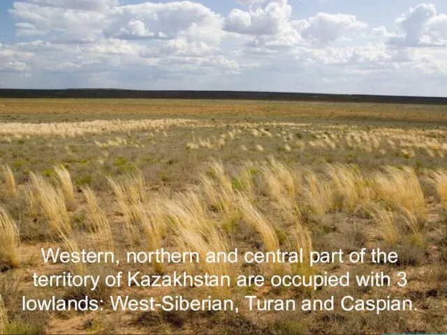
- 4. Western, northern and central part of the territory of Kazakhstan are occupied with 3 lowlands: West-Siberian,
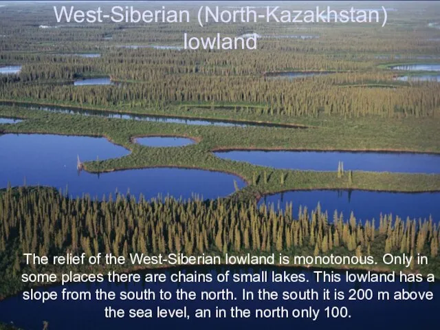
- 5. West-Siberian (North-Kazakhstan) lowland The relief of the West-Siberian lowland is monotonous. Only in some places there
- 6. Turan lowland Turan lowland is located in south and south-west of the republic. It raises in
- 7. Caspian lowland The relief of Caspian lowland is monotonous. It consists of clay plains and sandy
- 8. The territory of Kazakhstan is rich with plateaus. The biggest of them are: Ustyurt, Turgay, Pre-Ural.
- 9. Plateau Ustyurt Plateau Ustyurt is between the Ural and Caspian seas. It’s average height is 200
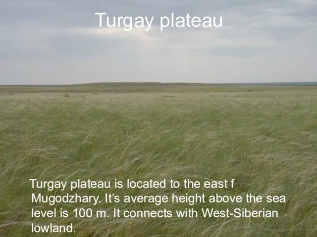
- 10. Turgay plateau Turgay plateau is located to the east f Mugodzhary. It’s average height above the
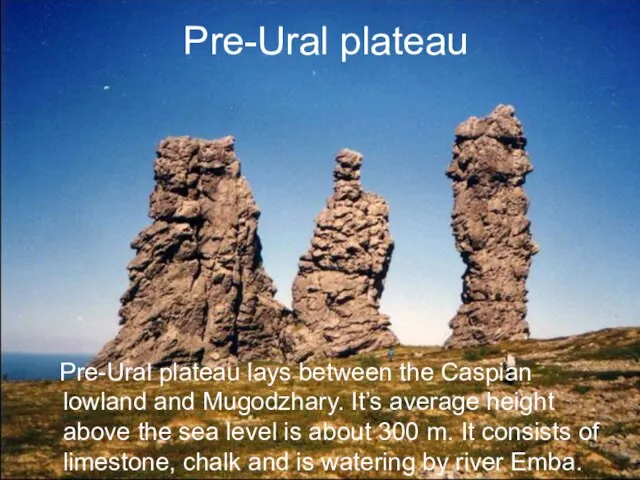
- 11. Pre-Ural plateau Pre-Ural plateau lays between the Caspian lowland and Mugodzhary. It’s average height above the
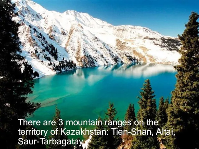
- 12. There are 3 mountain ranges on the territory of Kazakhstan: Tien-Shan, Altai, Saur-Tarbagatay.
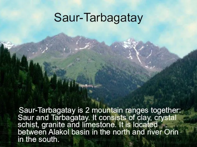
- 13. Saur-Tarbagatay Saur-Tarbagatay is 2 mountain ranges together: Saur and Tarbagatay. It consists of clay, crystal schist,
- 14. Altai Altai is divided into 3 ranges: Southern, Central and Kolbinsky. There are glaciers and hollows,
- 15. Tien-Shan Tien-Shan mountains occupies the south-east of Kazakhstan. In the Central part of Tien-Shan is the
- 17. Скачать презентацию
Слайд 2Plan:
Lowlands (West-Siberian, Turan, Caspian)
Plateau (Ustyurt, Turgay, Pre-Ural)
Mountains (Altai, Saur-Tarbagatay, Tien-Shan)
Plan:
Lowlands (West-Siberian, Turan, Caspian)
Plateau (Ustyurt, Turgay, Pre-Ural)
Mountains (Altai, Saur-Tarbagatay, Tien-Shan)
Слайд 3 The surface of the territory of the Kazakhstan is divided into
The surface of the territory of the Kazakhstan is divided into
Слайд 4 Western, northern and central part of the territory of Kazakhstan are
Western, northern and central part of the territory of Kazakhstan are
Слайд 5West-Siberian (North-Kazakhstan) lowland
The relief of the West-Siberian lowland is monotonous. Only
West-Siberian (North-Kazakhstan) lowland
The relief of the West-Siberian lowland is monotonous. Only
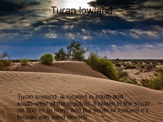
Слайд 6Turan lowland
Turan lowland is located in south and south-west of the
Turan lowland
Turan lowland is located in south and south-west of the
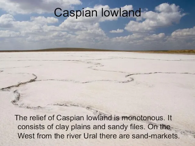
Слайд 7Caspian lowland
The relief of Caspian lowland is monotonous. It consists of
Caspian lowland
The relief of Caspian lowland is monotonous. It consists of
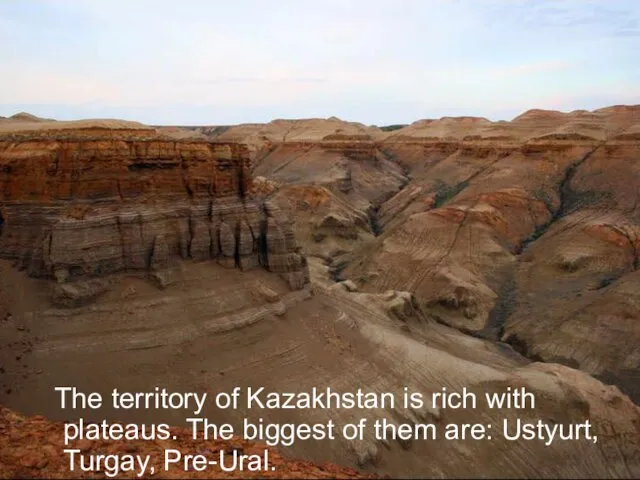
Слайд 8 The territory of Kazakhstan is rich with plateaus. The biggest of
The territory of Kazakhstan is rich with plateaus. The biggest of
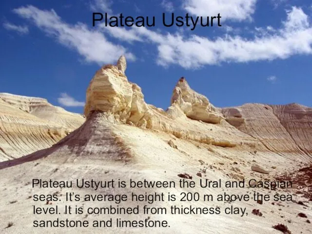
Слайд 9Plateau Ustyurt
Plateau Ustyurt is between the Ural and Caspian seas. It’s
Plateau Ustyurt
Plateau Ustyurt is between the Ural and Caspian seas. It’s
Слайд 10Turgay plateau
Turgay plateau is located to the east f Mugodzhary. It’s
Turgay plateau
Turgay plateau is located to the east f Mugodzhary. It’s
Слайд 11Pre-Ural plateau
Pre-Ural plateau lays between the Caspian lowland and Mugodzhary. It’s
Pre-Ural plateau
Pre-Ural plateau lays between the Caspian lowland and Mugodzhary. It’s
Слайд 12 There are 3 mountain ranges on the territory of Kazakhstan: Tien-Shan,
There are 3 mountain ranges on the territory of Kazakhstan: Tien-Shan,
Слайд 13Saur-Tarbagatay
Saur-Tarbagatay is 2 mountain ranges together: Saur and Tarbagatay. It consists
Saur-Tarbagatay
Saur-Tarbagatay is 2 mountain ranges together: Saur and Tarbagatay. It consists
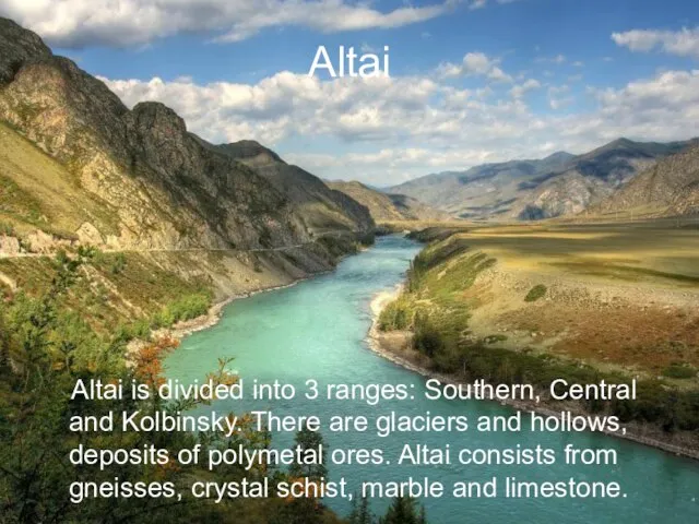
Слайд 14Altai
Altai is divided into 3 ranges: Southern, Central and Kolbinsky. There
Altai
Altai is divided into 3 ranges: Southern, Central and Kolbinsky. There
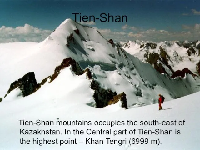
Слайд 15Tien-Shan
Tien-Shan mountains occupies the south-east of Kazakhstan. In the Central part
Tien-Shan
Tien-Shan mountains occupies the south-east of Kazakhstan. In the Central part
 Sozdanie_zaprosov_na_sozdanie_tablitsy
 Правила перевозок железнодорожным транспортом подкарантинных грузов
 PR в индустрии моды
 BIcons Group. Услуги по направлениям аудита, налогового консалтинга, юридической защиты прав
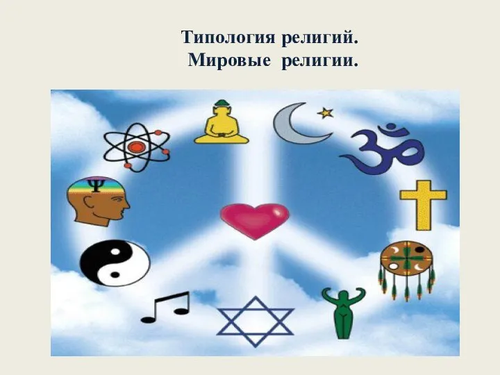 Типология религий. Мировые религии
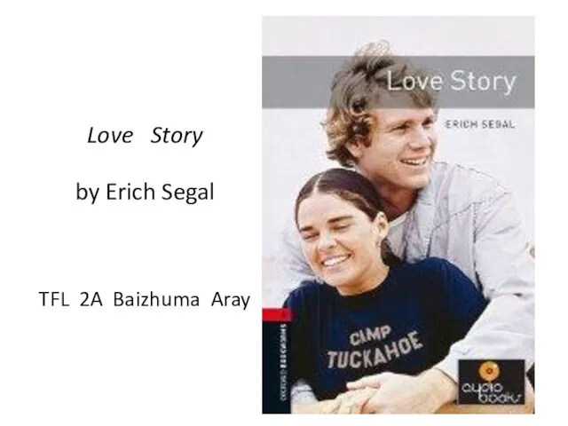 Love Story by Erich Segal
  Технологія обрізування декоративних чагарників
 Блокнот
 Движение воды в океане. Волны
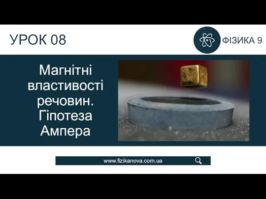 Урок 08 Магнітні властивості речовин. Гіпотеза Ампера (1)
 Психолингвистика, как наука о речевой деятельности
 3MFM - 3 (1)
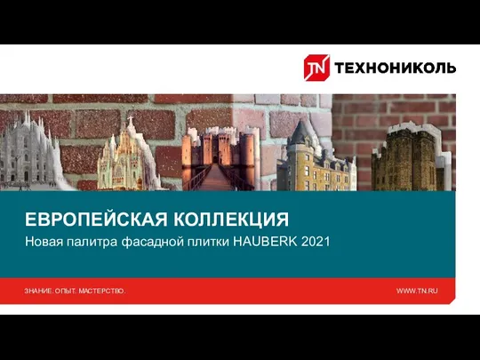 Новинки в ассортименте фасадной плитки Hauberk-2021
 Выбираем 3CX Phone System Ключевые возможности и преимущества
 Соборы Московского Кремля
 Турбины, насосы, насосо-турбины, обратимые гидромашины: виды, устройство, принципы работы
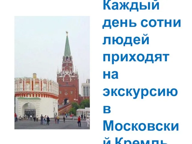 Кремль – исторический центр Москвы
 Норвегия
 Презентация на тему Хоть и маленькие мы, но достаточно умны
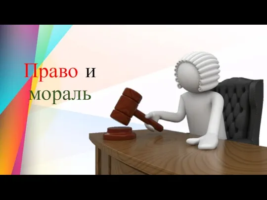 Право и мораль
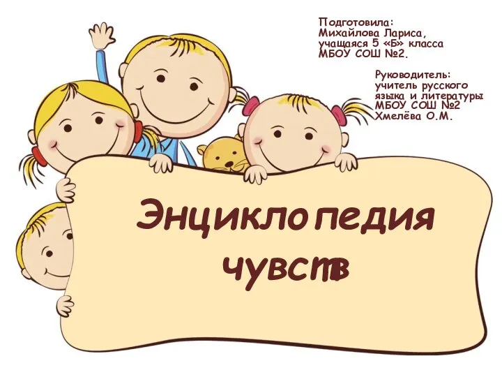 Энциклопедия чувств
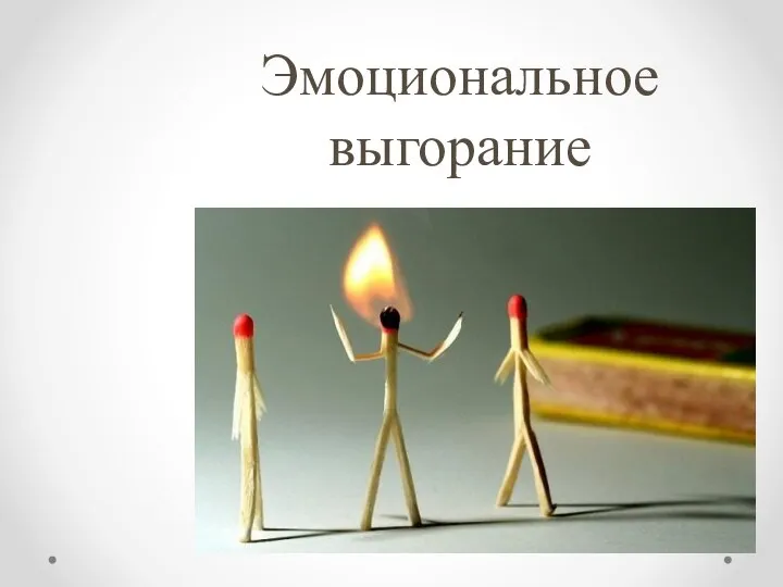 Эмоциональное выгорание
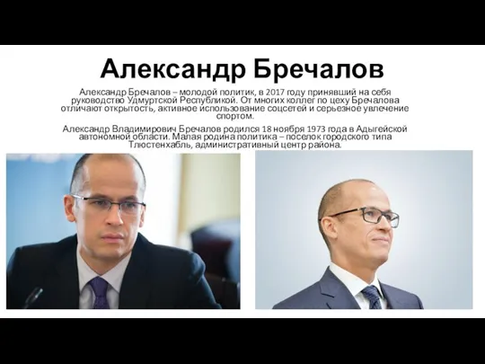 Александр Бречалов
 04.10
04.10 Содержание, принципы и методы обучения черчению
 Таможенные сборы. Тема 2
 Табличные цифровые регуляторы САР
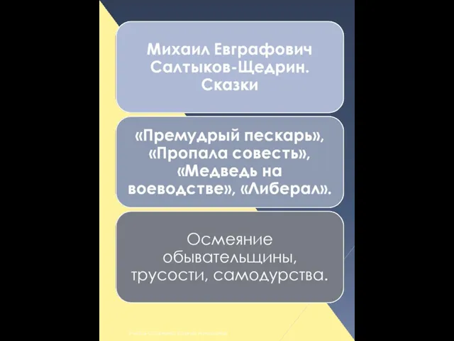 Михаил Евграфович Салтыков-Щедрин. Сказки