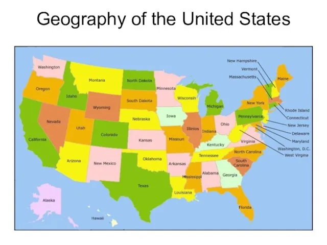
Слайд 3U.S.A at the World Map
The term "United States", when used in the
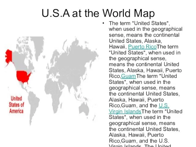
geographical sense, means the continental United States, Alaska, Hawaii, Puerto RicoThe term "United States", when used in the geographical sense, means the continental United States, Alaska, Hawaii, Puerto Rico,GuamThe term "United States", when used in the geographical sense, means the continental United States, Alaska, Hawaii, Puerto Rico,Guam, and the U.S. Virgin IslandsThe term "United States", when used in the geographical sense, means the continental United States, Alaska, Hawaii, Puerto Rico,Guam, and the U.S. Virgin Islands. The United States shares land borders with CanadaThe term "United States", when used in the geographical sense, means the continental United States, Alaska, Hawaii, Puerto Rico,Guam, and the U.S. Virgin Islands. The United States shares land borders with Canada and MexicoThe term "United States", when used in the geographical sense, means the continental United States, Alaska, Hawaii, Puerto Rico,Guam, and the U.S. Virgin Islands. The United States shares land borders with Canada and Mexico and maritime (water) borders with RussiaThe term "United States", when used in the geographical sense, means the continental United States, Alaska, Hawaii, Puerto Rico,Guam, and the U.S. Virgin Islands. The United States shares land borders with Canada and Mexico and maritime (water) borders with Russia, CubaThe term "United States", when used in the geographical sense, means the continental United States, Alaska, Hawaii, Puerto Rico,Guam, and the U.S. Virgin Islands. The United States shares land borders with Canada and Mexico and maritime (water) borders with Russia, Cuba, and The Bahamas in addition to Canada and Mexico.
There are several U.S. territoriesThere are several U.S. territories in the Pacific and Caribbean.

 Бала құқығы туралы
 Автомобилестроение
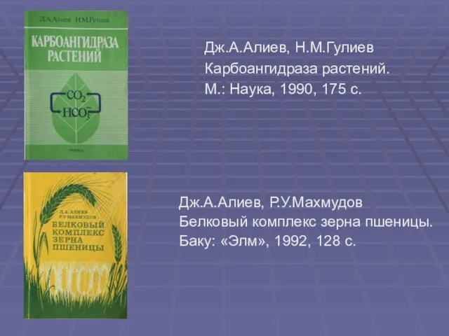 Дж.А.Алиев, Н.М.Гулиев Карбоангидраза растений. М.: Наука, 1990, 175 с.
 Презентация на тему Иван Алексеевич Бунин
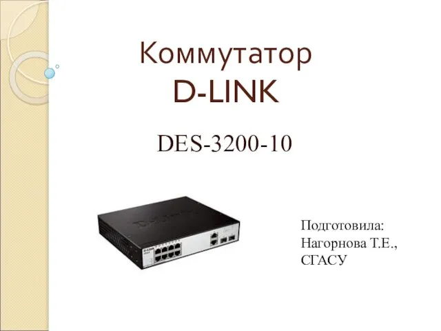 Коммутатор D-LINK
 Плотность овощей и фруктов, выращиваемых на приусадебном участке
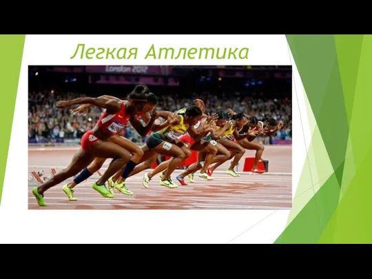 Легкая атлетика
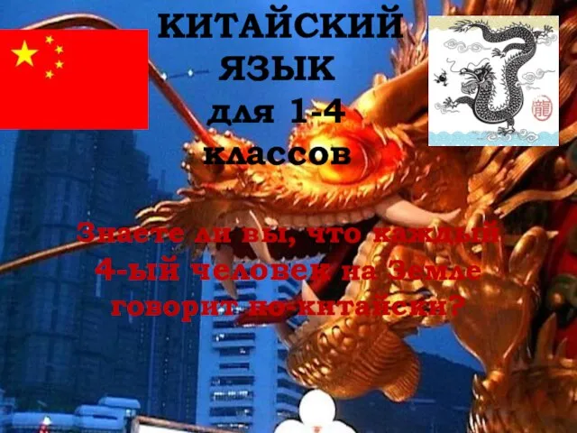 КИТАЙСКИЙ ЯЗЫК для 1-4 классов Знаете ли вы, что каждый 4-ый человек на Земле говорит по-китайски?
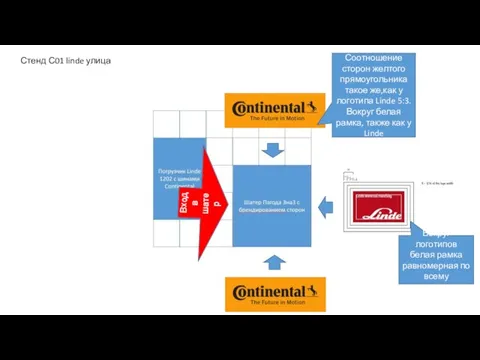 Стенд С01 linde улица
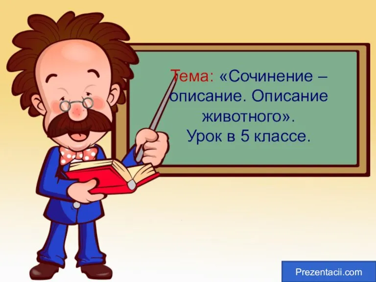 Сочинение описание животного 5 класс
 МАОУпрогимназия №108
 Долой бумагу! Долой курьевов! Даешь Производительность!
 Презентация на тему Формы культуры
 Нефтепродукты, полученные в результате крекинга нефти
 Представление объединений ИАТЭ НИЯУ МИФИ
 Развитие личностных интегративных качеств как условие социализации дошкольников
 День Матери
 Число «Пи» и способы его вычисления на компьютере
 Webinar requirement form
 Интегрированный процессор для цифровой телефонии TETRA
 Связи между справочниками
 Презентация на тему Эпоха теории флогистона Пневматическая химия Развитие аналитической химии
  Эта удивительная вода
 Предпринимательство (8 класс)
 Перспективы проведения Чемпионата Мира по футболу 2018 года в России
 Гибкий Павел. Обучение аудированию и диалогической речи. Урок 1 (китайский язык)
 Центральная Азия в 19 веке
 Биоэквивалентность – как регуляторный механизм на фармрынках государств СНГ