- Рельеф Казахстана

Содержание
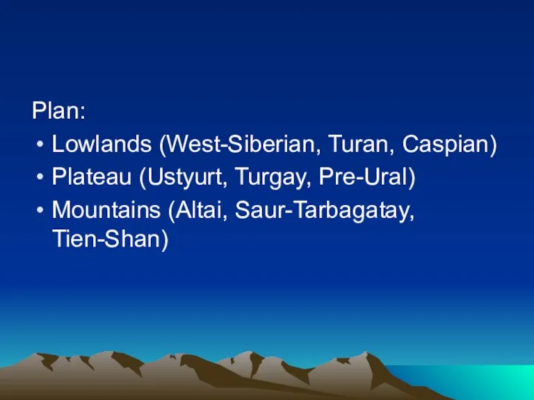
- 2. Plan: Lowlands (West-Siberian, Turan, Caspian) Plateau (Ustyurt, Turgay, Pre-Ural) Mountains (Altai, Saur-Tarbagatay, Tien-Shan)
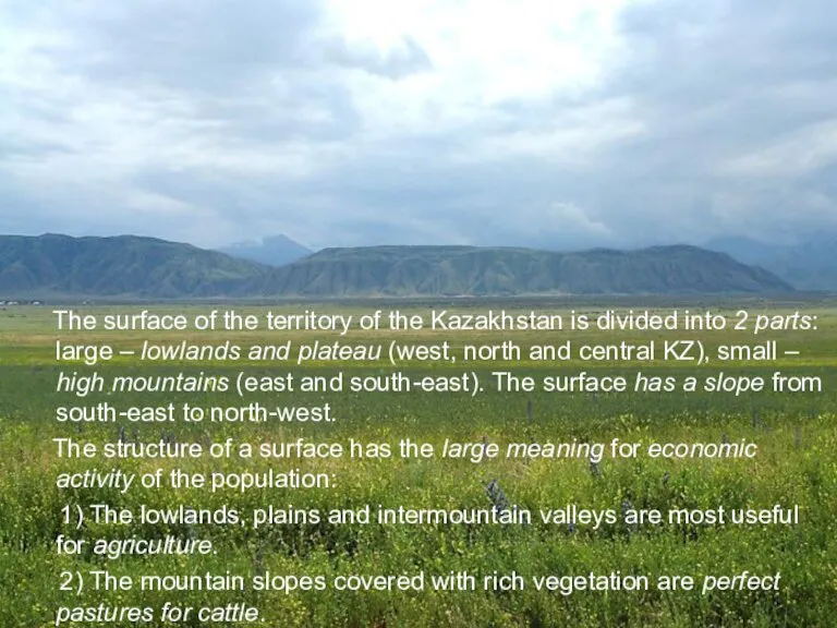
- 3. The surface of the territory of the Kazakhstan is divided into 2 parts: large – lowlands
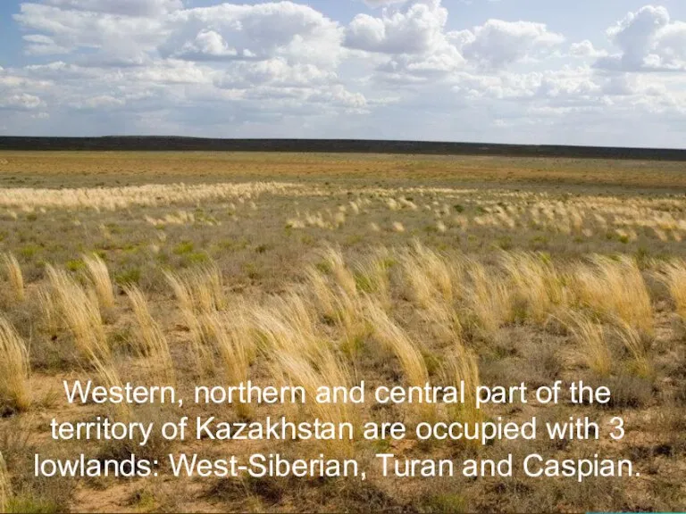
- 4. Western, northern and central part of the territory of Kazakhstan are occupied with 3 lowlands: West-Siberian,
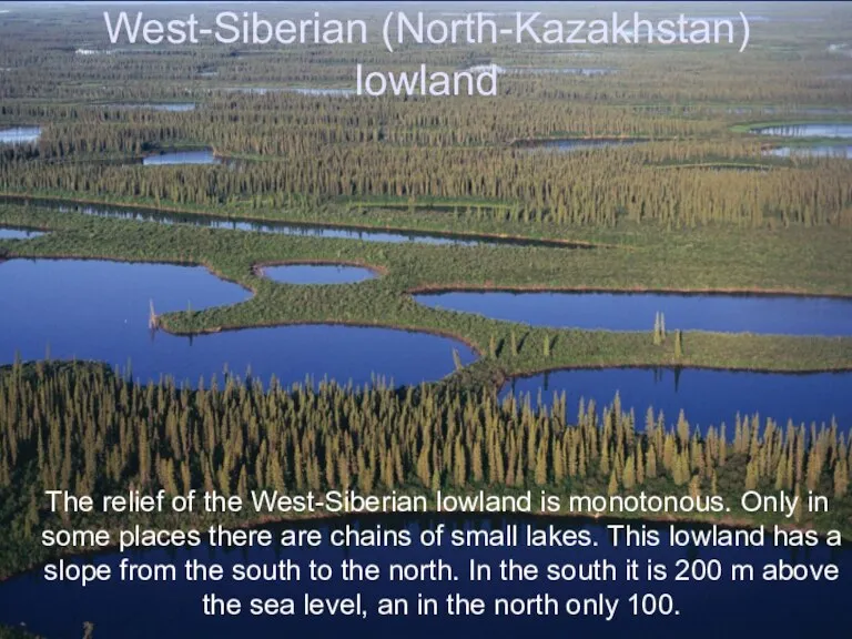
- 5. West-Siberian (North-Kazakhstan) lowland The relief of the West-Siberian lowland is monotonous. Only in some places there
- 6. Turan lowland Turan lowland is located in south and south-west of the republic. It raises in
- 7. Caspian lowland The relief of Caspian lowland is monotonous. It consists of clay plains and sandy
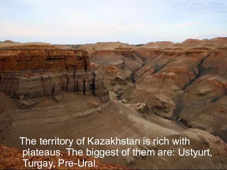
- 8. The territory of Kazakhstan is rich with plateaus. The biggest of them are: Ustyurt, Turgay, Pre-Ural.
- 9. Plateau Ustyurt Plateau Ustyurt is between the Ural and Caspian seas. It’s average height is 200
- 10. Turgay plateau Turgay plateau is located to the east f Mugodzhary. It’s average height above the
- 11. Pre-Ural plateau Pre-Ural plateau lays between the Caspian lowland and Mugodzhary. It’s average height above the
- 12. There are 3 mountain ranges on the territory of Kazakhstan: Tien-Shan, Altai, Saur-Tarbagatay.
- 13. Saur-Tarbagatay Saur-Tarbagatay is 2 mountain ranges together: Saur and Tarbagatay. It consists of clay, crystal schist,
- 14. Altai Altai is divided into 3 ranges: Southern, Central and Kolbinsky. There are glaciers and hollows,
- 15. Tien-Shan Tien-Shan mountains occupies the south-east of Kazakhstan. In the Central part of Tien-Shan is the
- 17. Скачать презентацию
Слайд 2Plan:
Lowlands (West-Siberian, Turan, Caspian)
Plateau (Ustyurt, Turgay, Pre-Ural)
Mountains (Altai, Saur-Tarbagatay, Tien-Shan)
Plan:
Lowlands (West-Siberian, Turan, Caspian)
Plateau (Ustyurt, Turgay, Pre-Ural)
Mountains (Altai, Saur-Tarbagatay, Tien-Shan)
Слайд 3 The surface of the territory of the Kazakhstan is divided into
The surface of the territory of the Kazakhstan is divided into
Слайд 4 Western, northern and central part of the territory of Kazakhstan are
Western, northern and central part of the territory of Kazakhstan are
Слайд 5West-Siberian (North-Kazakhstan) lowland
The relief of the West-Siberian lowland is monotonous. Only
West-Siberian (North-Kazakhstan) lowland
The relief of the West-Siberian lowland is monotonous. Only
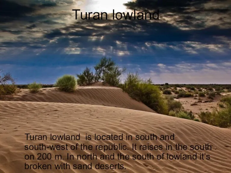
Слайд 6Turan lowland
Turan lowland is located in south and south-west of the
Turan lowland
Turan lowland is located in south and south-west of the
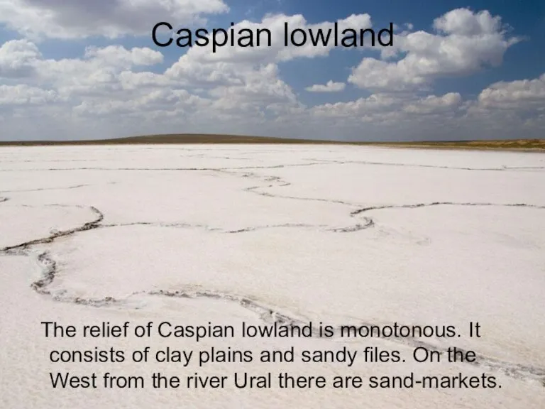
Слайд 7Caspian lowland
The relief of Caspian lowland is monotonous. It consists of
Caspian lowland
The relief of Caspian lowland is monotonous. It consists of
Слайд 8 The territory of Kazakhstan is rich with plateaus. The biggest of
The territory of Kazakhstan is rich with plateaus. The biggest of
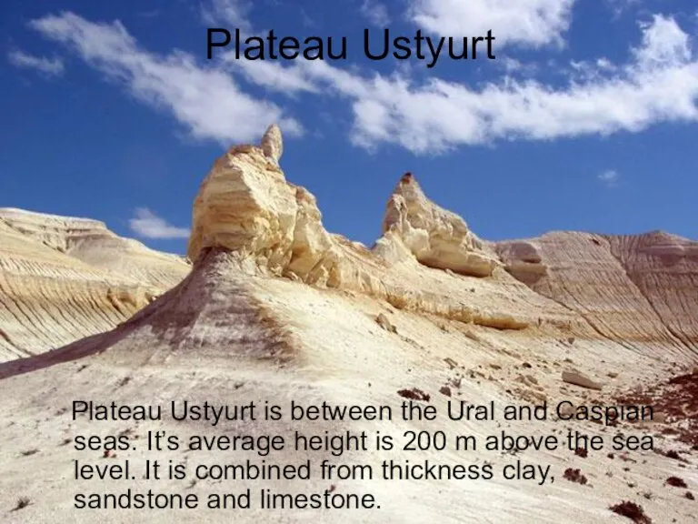
Слайд 9Plateau Ustyurt
Plateau Ustyurt is between the Ural and Caspian seas. It’s
Plateau Ustyurt
Plateau Ustyurt is between the Ural and Caspian seas. It’s
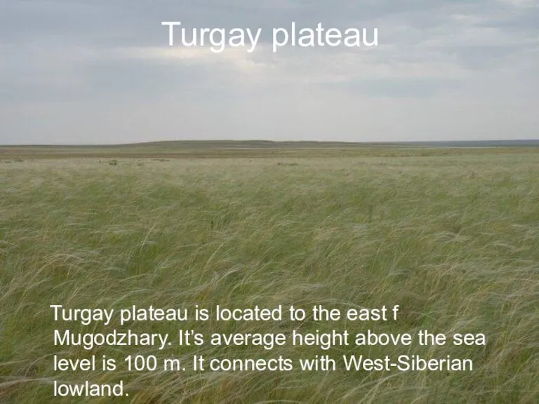
Слайд 10Turgay plateau
Turgay plateau is located to the east f Mugodzhary. It’s
Turgay plateau
Turgay plateau is located to the east f Mugodzhary. It’s
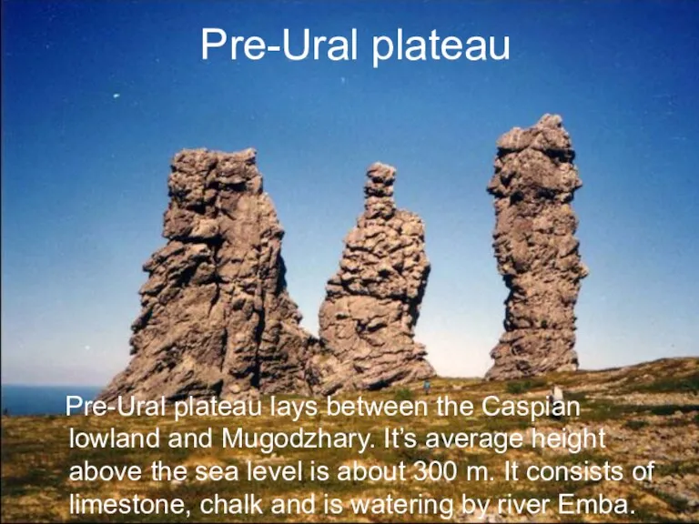
Слайд 11Pre-Ural plateau
Pre-Ural plateau lays between the Caspian lowland and Mugodzhary. It’s
Pre-Ural plateau
Pre-Ural plateau lays between the Caspian lowland and Mugodzhary. It’s
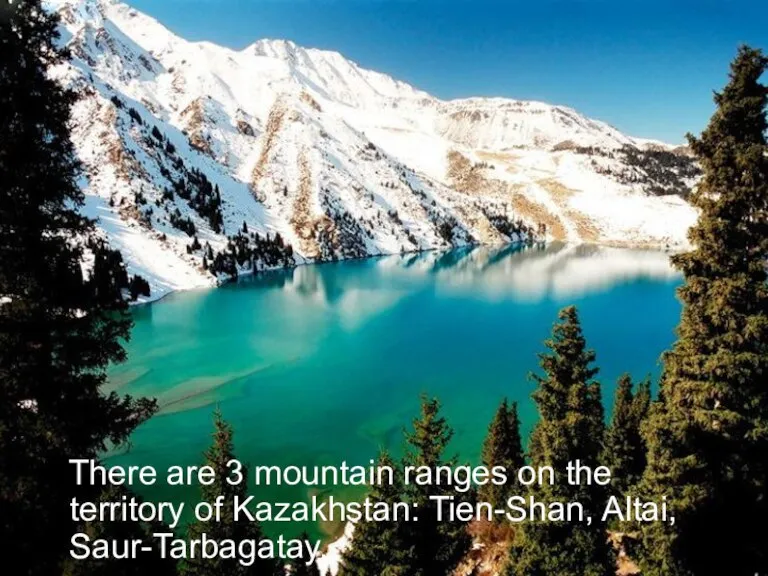
Слайд 12 There are 3 mountain ranges on the territory of Kazakhstan: Tien-Shan,
There are 3 mountain ranges on the territory of Kazakhstan: Tien-Shan,
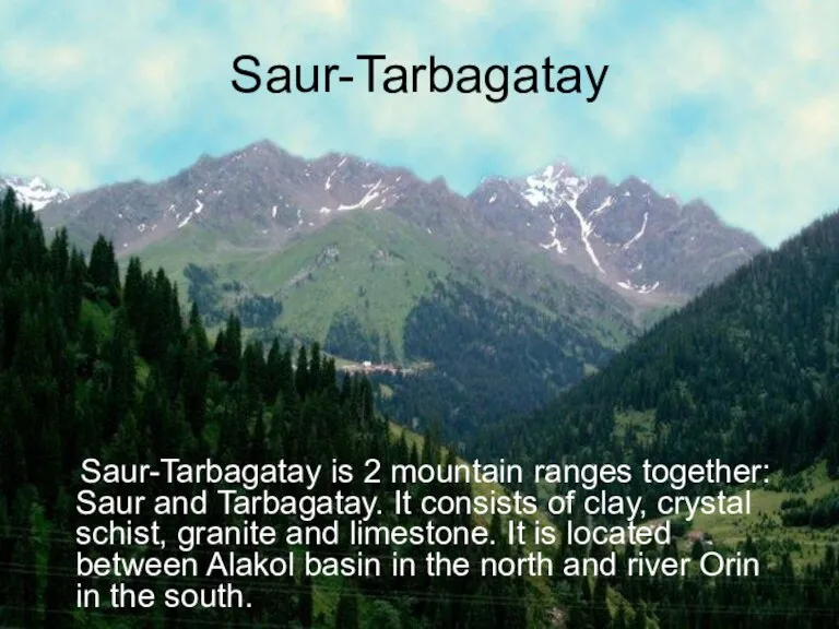
Слайд 13Saur-Tarbagatay
Saur-Tarbagatay is 2 mountain ranges together: Saur and Tarbagatay. It consists
Saur-Tarbagatay
Saur-Tarbagatay is 2 mountain ranges together: Saur and Tarbagatay. It consists
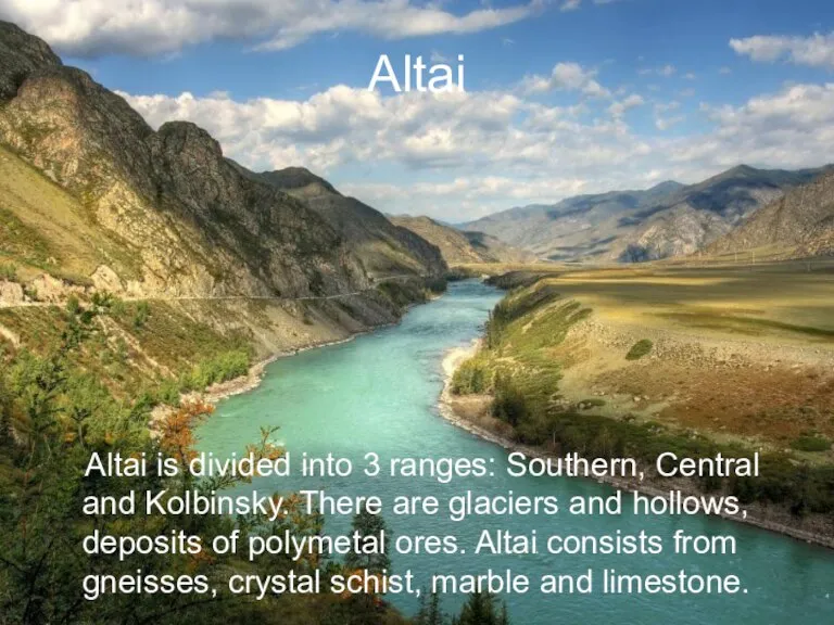
Слайд 14Altai
Altai is divided into 3 ranges: Southern, Central and Kolbinsky. There
Altai
Altai is divided into 3 ranges: Southern, Central and Kolbinsky. There
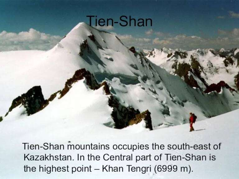
Слайд 15Tien-Shan
Tien-Shan mountains occupies the south-east of Kazakhstan. In the Central part
Tien-Shan
Tien-Shan mountains occupies the south-east of Kazakhstan. In the Central part
 Сборка удлинителя
 Презентация на тему СОВЕТСКАЯ КОСМОНАВТИКА
 Компьютерные вирусы (8 класс)
 Жизнь в облаке
 Товары индустрии красоты, которые могут вас убить
 Нравственные идеалы
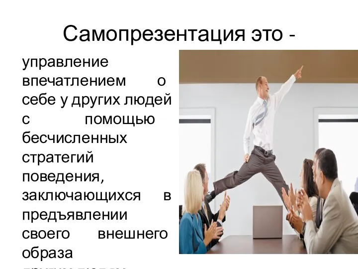 Самопрезентация
 Организация и проведение туристических соревнований, туристических слетов
 Sensual fashion 20s The Great Gatsby movie
 ДЕПАРТАМЕНТ СТРОИТЕЛЬСТВА ГОРОДА МОСКВЫ
 Особенности классификации товаров группы 36
 Личность и общество
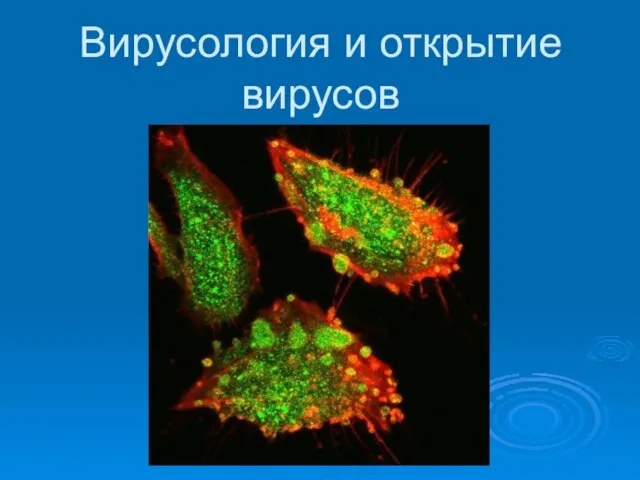 Вирусология и открытие вирусов
 Раздел Sale
 ЕБРР ДЛЯ РОССИЙСКИХ БАНКОВ
 Презентация на тему Домашние животные и детеныши
  ISO/TS 22002-1. Программы предварительных условий для безопасности пищевых продуктов. Производство пищевых продуктов
 Sweet Box. Про компанію
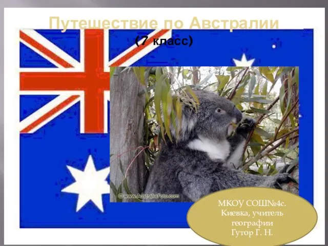 Путешествие по Австралии 7 класс
 class Server::Cloud < Server::Hardware
 Комнатные растения в детском саду
 Музыкотерапевтические программы
 Презентация на тему Правописание корней. Чередование гласных в корнях слов
 Мастерская аэросъёмки (часть 3)
 «Воспитание и развитие лидерского потенциала подростков через детские объединения и школьное самоуправление»
 Прекращение трудового договора
 Гибкий Павел. 中国通 zhōngguótōng (китаеведы)
 Проигрыватели компакт - дисков