- THE NORTHERN IRELAND

Содержание
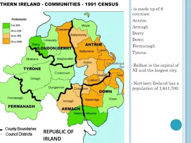
- 2. is made up of 6 counties: Antrim Armagh Derry Down Fermanagh Tyrone. Belfast is the capital
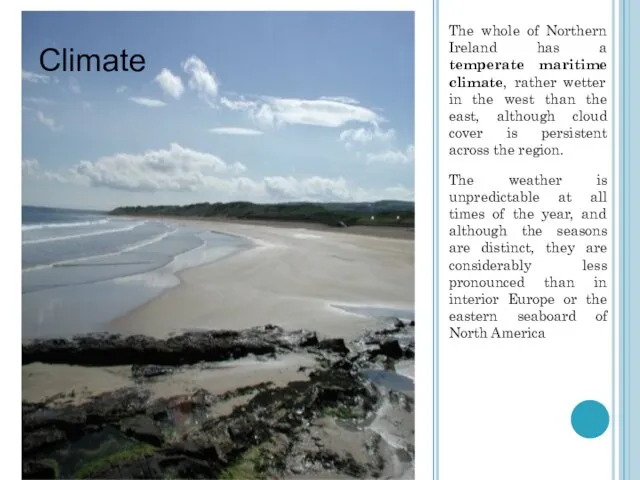
- 3. The whole of Northern Ireland has a temperate maritime climate, rather wetter in the west than
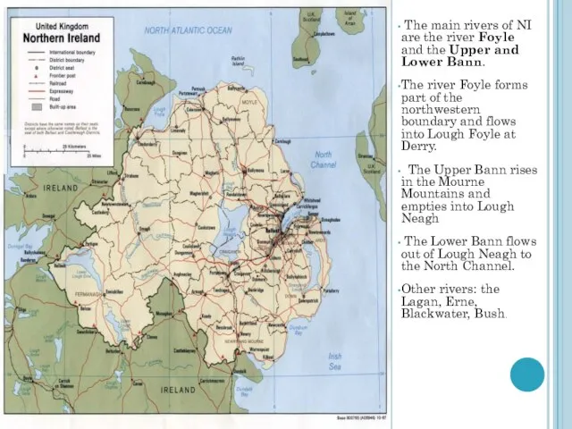
- 4. The main rivers of NI are the river Foyle and the Upper and Lower Bann. The
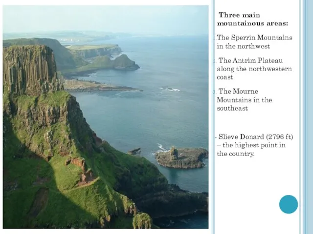
- 5. Three main mountainous areas: The Sperrin Mountains in the northwest The Antrim Plateau along the northwestern
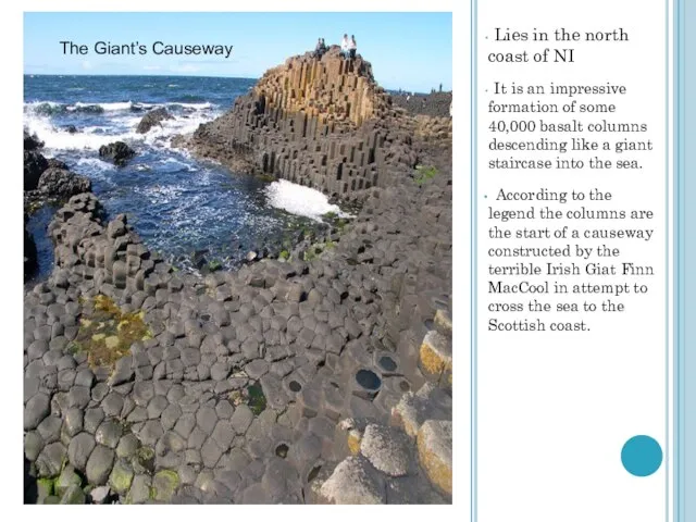
- 6. Lies in the north coast of NI It is an impressive formation of some 40,000 basalt
- 8. Скачать презентацию
 Понятие трудового договора, его стороны и значение. Содержание трудового договора, порядок заключения и расторжения
 Автоматизация р
 All kinds of animals
 Экономика государства
 Компьютерные презентации
 Селекция2
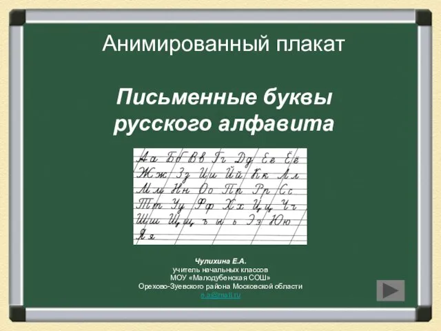 Презентация на тему Письменные буквы русского алфавита
 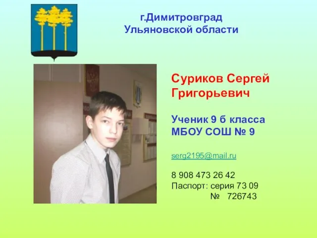 Суриков Сергей Григорьевич Ученик 9 б класса МБОУ СОШ № 9
  Художественное ремесло
 АСГОР «РГК»
 Знакомство с Богом
 Четыре живописца
 Терроризм как опаснейшее социально-политическое явление сегодняшнего мира
 Филиппины
  Программа поддержки многодетных семей в РФ
 Группа развития
 Презентация на тему Природные зоны Африки
  Тема доклада: «Обязательные виды страхования - драйвер роста или тупиковый путь развития?»
 Профориентационная работа в условиях школы-интерната
 Подводная угадайка
 Hafta 3-2Menderes Dönemi
 Эксклюзив
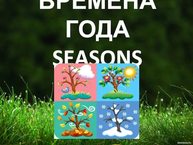 ВРЕМЕНА ГОДА SEASONS
  Состав рабочих групп проектов окружного методического совета
 Презентация на тему Семейство Губоцветные
 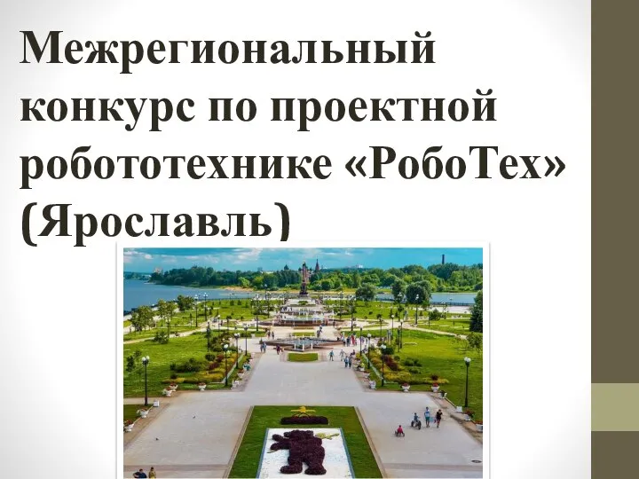 Межрегиональный конкурс по проектной робототехнике РобоТех (Ярославль)
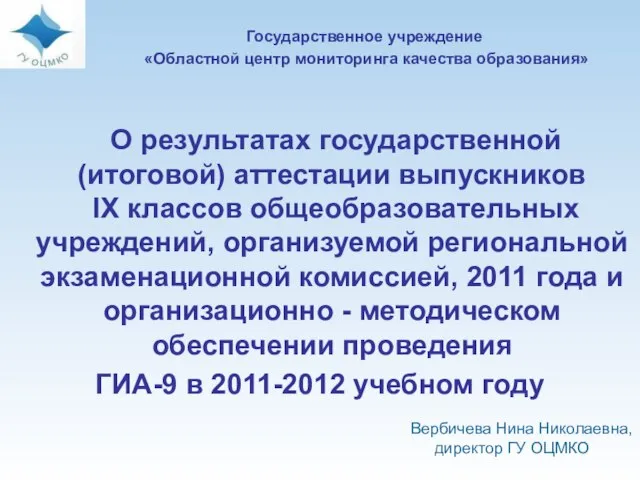 О результатах государственной (итоговой) аттестации выпускников IX классов общеобразовательных учреждений, организуемой региона
 презентация