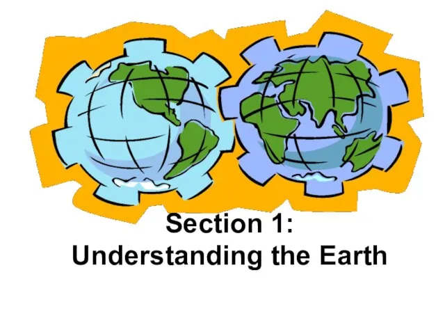
- Understanding the Earth

Содержание
- 2. Section 1: Understanding the Earth
- 3. Things to Think About… How does the movement of the Earth around the sun affect our
- 4. The sun is a star in our galaxy called the Milky Way It provides light &
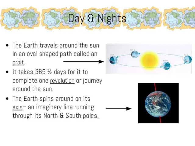
- 5. Day & Nights The Earth travels around the sun in an oval shaped path called an
- 6. Seasons During the year days or nights might seem longer because of the Earth’s tilt on
- 7. Seasons The amount of warmth one feels depends on how directly the sun falls on a
- 8. Effect of Latitude Imaginary lines, called lines of latitude, are east-west circles around the globe They
- 9. Effect of Latitude On/near March 21 & September 23, the sun is directly over the equator
- 10. Effect of Latitude Two other major lines of latitudes are the Tropic of Cancer and the
- 11. Effect of Latitude There are times in the year when the sun is directly over both
- 12. Effect of Latitude The area between the Equator, the Tropics, and the Arctic/Antarctic circles also have
- 13. Effect of Latitude
- 14. Review… Orbit Revolution Rotation How does latitude affect climate? Give an example How does the Earth’s
- 15. So, What’s the Big Idea? The relationship between the Earth and the sun creates our days,
- 16. Your Turn…. Create a graphic organizer that illustrates the main idea and its supporting details. You
- 17. Section 2: Five Themes of Geography
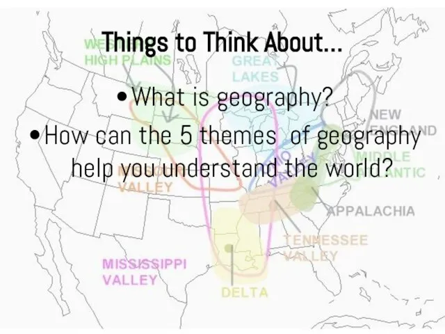
- 18. Things to Think About… What is geography? How can the 5 themes of geography help you
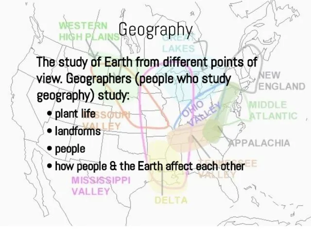
- 19. Geography The study of Earth from different points of view. Geographers (people who study geography) study:
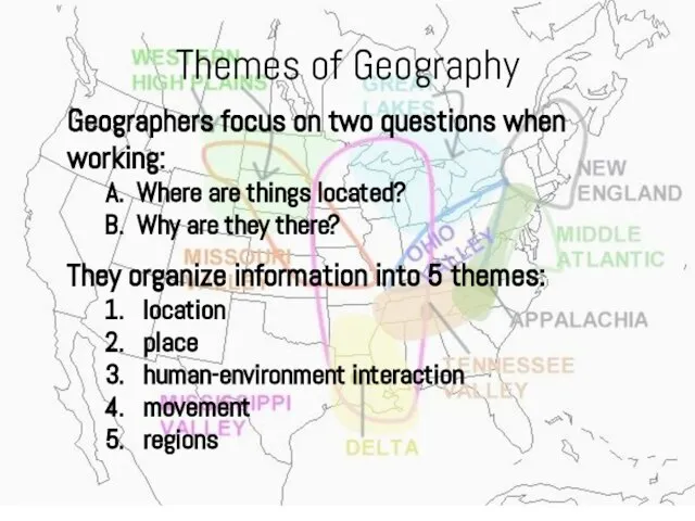
- 20. Themes of Geography Geographers focus on two questions when working: Where are things located? Why are
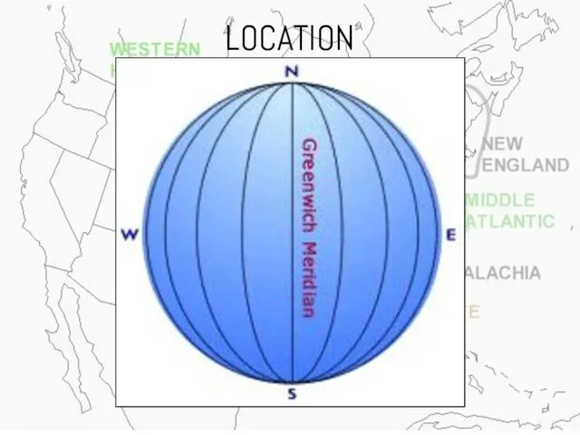
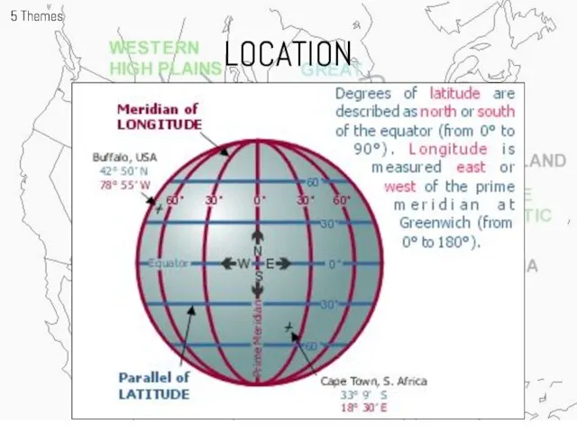
- 21. LOCATION Geographers study a place be describing it. Find absolute location using two types of imaginary
- 22. LOCATION
- 23. LOCATION 5 Themes
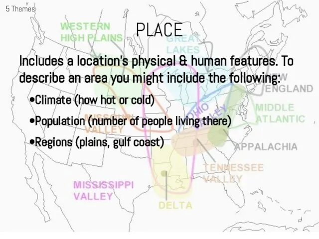
- 24. PLACE 5 Themes Includes a location’s physical & human features. To describe an area you might
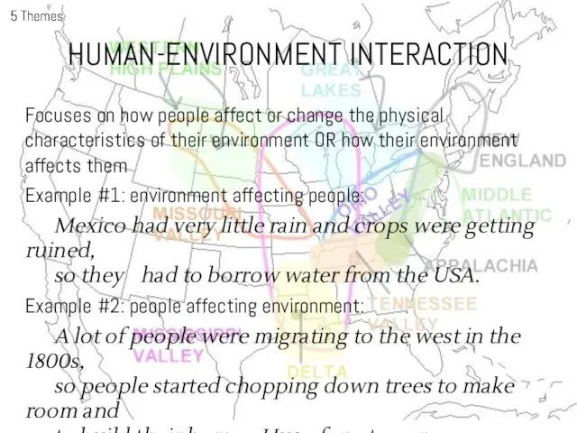
- 25. HUMAN-ENVIRONMENT INTERACTION 5 Themes Focuses on how people affect or change the physical characteristics of their
- 26. MOVEMENT 5 Themes Explains the relationship between places and how people, goods, and ideas get from
- 27. REGIONS 5 Themes Used to make comparisons and usually grouped by one unifying characteristic such as:
- 28. REGIONS 5 Themes
- 29. Review… Parallel Degree meridian Why do people study geography? What are the 5 themes of geography?
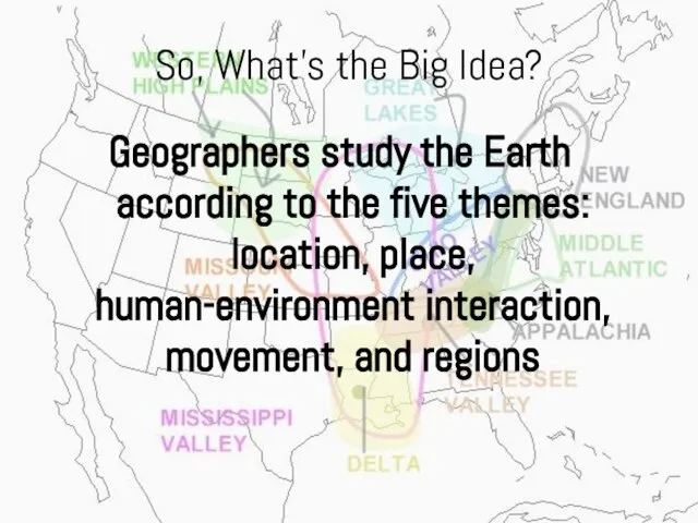
- 30. So, What’s the Big Idea? Geographers study the Earth according to the five themes: location, place,
- 31. Your Turn…. FILL IN ASSIGNMENT
- 32. Section 3: Using the Tools of Geography
- 33. Things to Think About… What are the advantages and disadvantages of globes and maps in showing
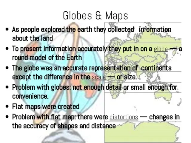
- 34. Globes & Maps As people explored the earth they collected information about the land To present
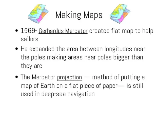
- 35. 1569- Gerhardus Mercator created flat map to help sailors He expanded the area between longitudes near
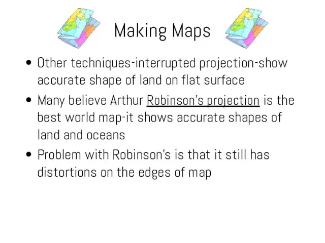
- 36. Other techniques-interrupted projection-show accurate shape of land on flat surface Many believe Arthur Robinson’s projection is
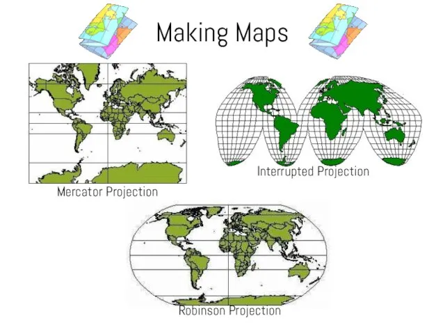
- 37. Making Maps
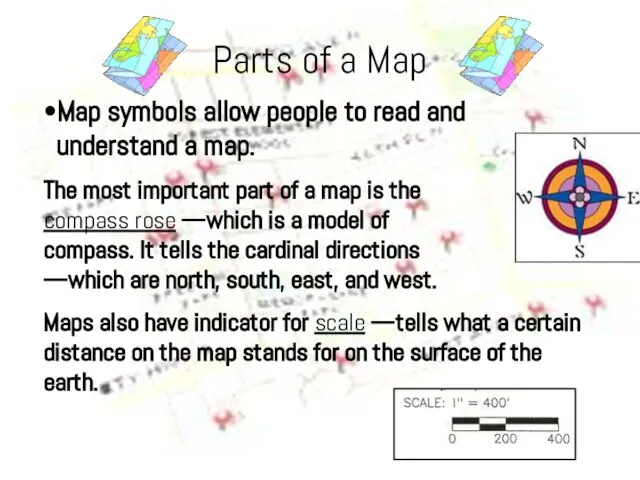
- 38. Parts of a Map •Map symbols allow people to read and understand a map. The most
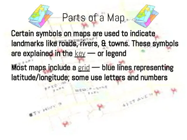
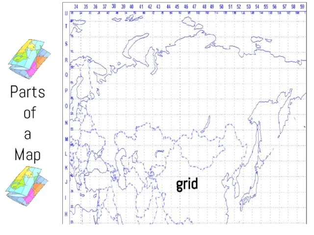
- 39. Parts of a Map Certain symbols on maps are used to indicate landmarks like roads, rivers,
- 40. Parts of a Map
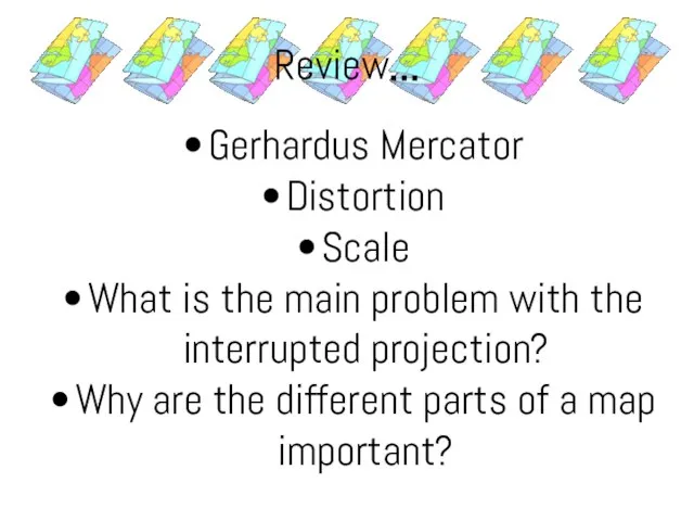
- 42. Review… Gerhardus Mercator Distortion Scale What is the main problem with the interrupted projection? Why are
- 44. Скачать презентацию
Слайд 3Things to Think About…
How does the movement of the Earth around the
Things to Think About…
How does the movement of the Earth around the
Слайд 4The sun is a star in our galaxy called the Milky Way
It
The sun is a star in our galaxy called the Milky Way
It
Слайд 5Day & Nights
The Earth travels around the sun in an oval shaped
Day & Nights
The Earth travels around the sun in an oval shaped
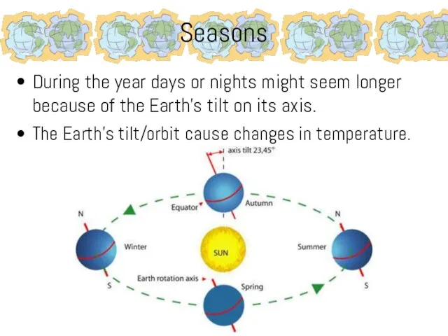
Слайд 6Seasons
During the year days or nights might seem longer because of the
Seasons
During the year days or nights might seem longer because of the
Слайд 7Seasons
The amount of warmth one feels depends on how directly the sun
Seasons
The amount of warmth one feels depends on how directly the sun
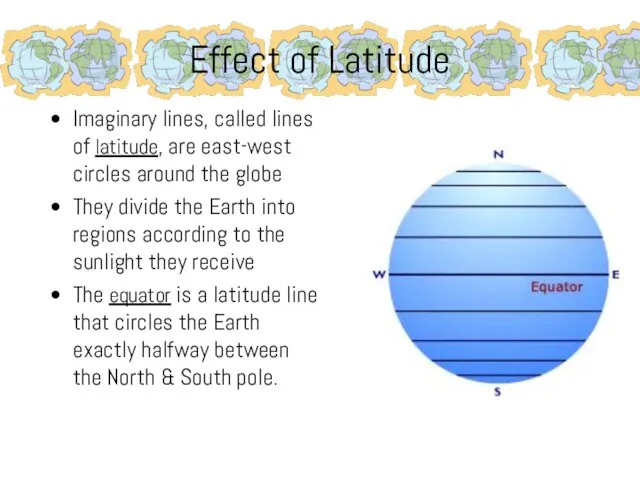
Слайд 8Effect of Latitude
Imaginary lines, called lines of latitude, are east-west circles around
Effect of Latitude
Imaginary lines, called lines of latitude, are east-west circles around
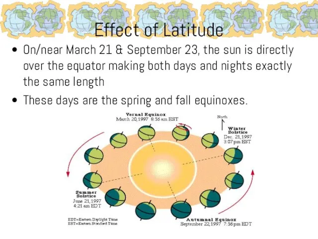
Слайд 9Effect of Latitude
On/near March 21 & September 23, the sun is directly
Effect of Latitude
On/near March 21 & September 23, the sun is directly
Слайд 10Effect of Latitude
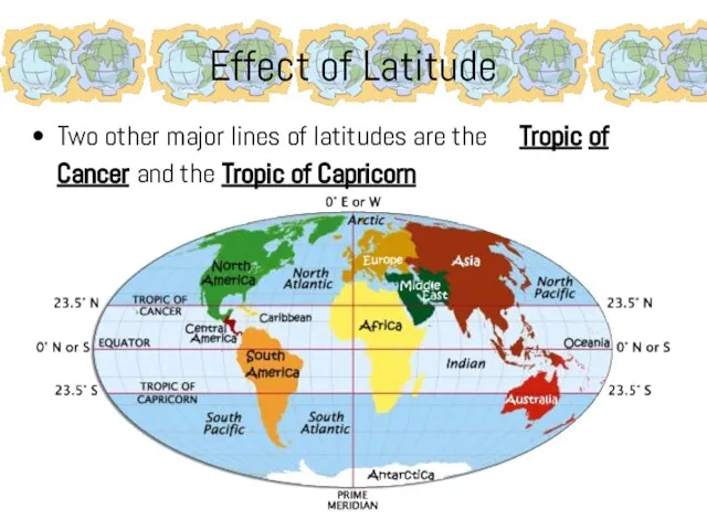
Two other major lines of latitudes are the Tropic of
Effect of Latitude
Two other major lines of latitudes are the Tropic of
Слайд 11Effect of Latitude
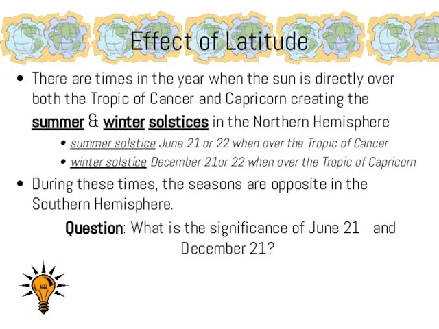
There are times in the year when the sun is
Effect of Latitude
There are times in the year when the sun is
Слайд 12Effect of Latitude
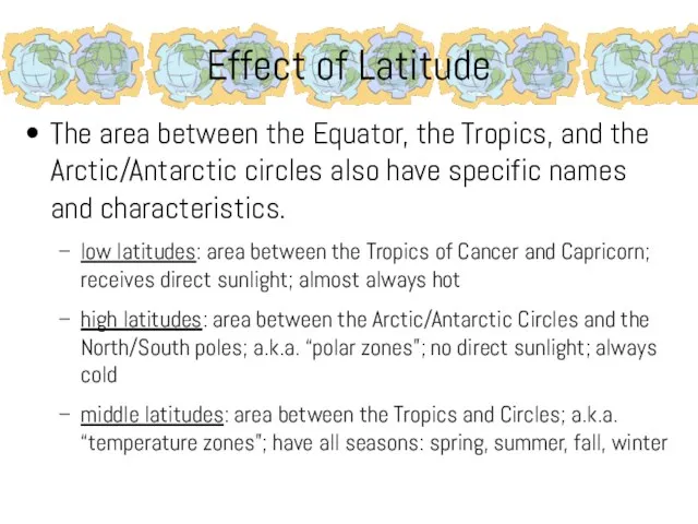
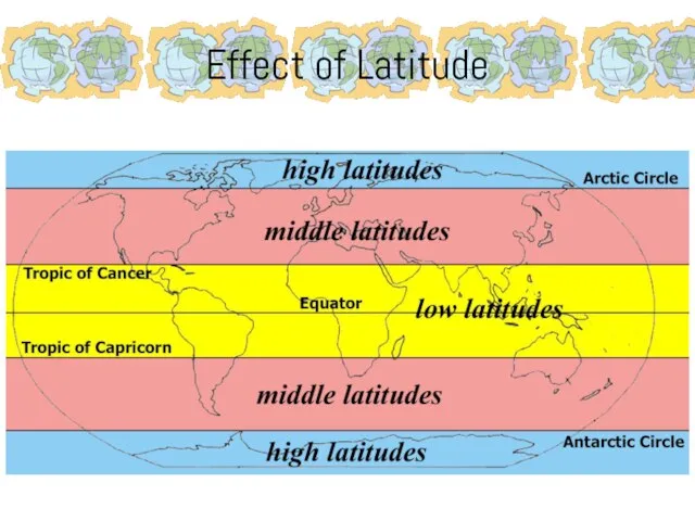
The area between the Equator, the Tropics, and the Arctic/Antarctic
Effect of Latitude
The area between the Equator, the Tropics, and the Arctic/Antarctic
Слайд 13Effect of Latitude
Effect of Latitude
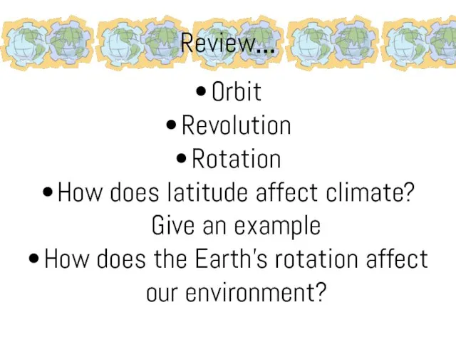
Слайд 14Review…
Orbit
Revolution
Rotation
How does latitude affect climate? Give an example
How does the Earth’s rotation
Review…
Orbit
Revolution
Rotation
How does latitude affect climate? Give an example
How does the Earth’s rotation
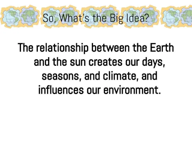
Слайд 15So, What’s the Big Idea?
The relationship between the Earth and the sun
So, What’s the Big Idea?
The relationship between the Earth and the sun
Слайд 16Your Turn….
Create a graphic organizer that illustrates the main idea and its
Your Turn….
Create a graphic organizer that illustrates the main idea and its
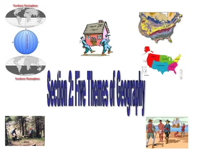
Слайд 17Section 2: Five Themes of Geography
Section 2: Five Themes of Geography
Слайд 18Things to Think About…
What is geography?
How can the 5 themes of geography
Things to Think About…
What is geography?
How can the 5 themes of geography
Слайд 19Geography
The study of Earth from different points of view. Geographers (people who
Geography
The study of Earth from different points of view. Geographers (people who
Слайд 20Themes of Geography
Geographers focus on two questions when working:
Where are things located?
Why
Themes of Geography
Geographers focus on two questions when working:
Where are things located?
Why
Слайд 21LOCATION
Geographers study a place be describing it. Find
absolute location using
LOCATION
Geographers study a place be describing it. Find
absolute location using
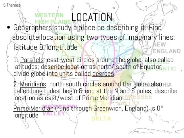
Слайд 22LOCATION
LOCATION
Слайд 23LOCATION
5 Themes
LOCATION
5 Themes
Слайд 24PLACE
5 Themes
Includes a location’s physical & human features. To describe an area
PLACE
5 Themes
Includes a location’s physical & human features. To describe an area
Слайд 25HUMAN-ENVIRONMENT INTERACTION
5 Themes
Focuses on how people affect or change the physical characteristics
HUMAN-ENVIRONMENT INTERACTION
5 Themes
Focuses on how people affect or change the physical characteristics
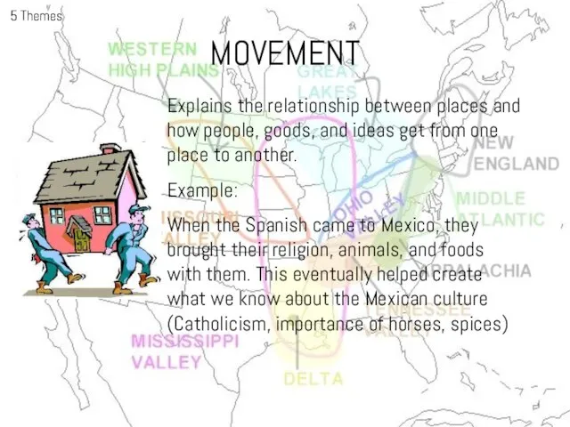
Слайд 26MOVEMENT
5 Themes
Explains the relationship between places and how people, goods, and ideas
MOVEMENT
5 Themes
Explains the relationship between places and how people, goods, and ideas
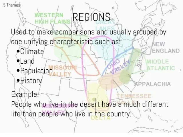
Слайд 27REGIONS
5 Themes
Used to make comparisons and usually grouped by one unifying characteristic
REGIONS
5 Themes
Used to make comparisons and usually grouped by one unifying characteristic
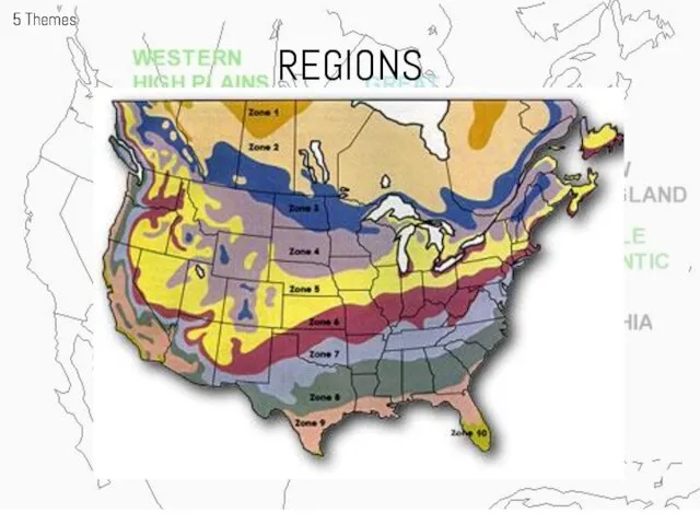
Слайд 28REGIONS
5 Themes
REGIONS
5 Themes
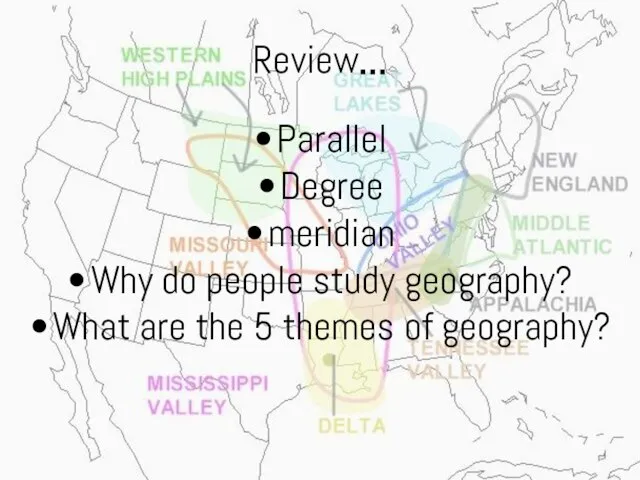
Слайд 29Review…
Parallel
Degree
meridian
Why do people study geography?
What are the 5 themes of geography?
Review…
Parallel
Degree
meridian
Why do people study geography?
What are the 5 themes of geography?
Слайд 30So, What’s the Big Idea?
Geographers study the Earth according to the five
So, What’s the Big Idea?
Geographers study the Earth according to the five
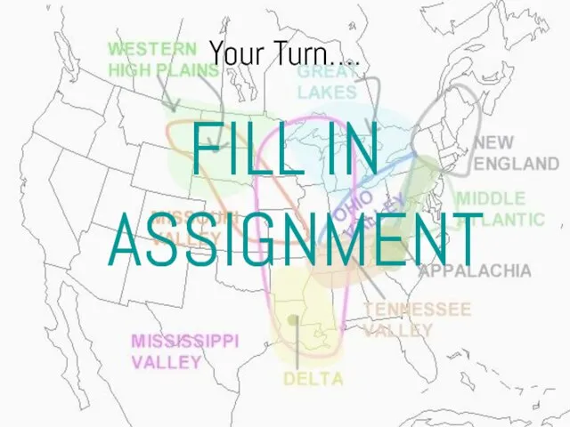
Слайд 31Your Turn….
FILL IN ASSIGNMENT
Your Turn….
FILL IN ASSIGNMENT
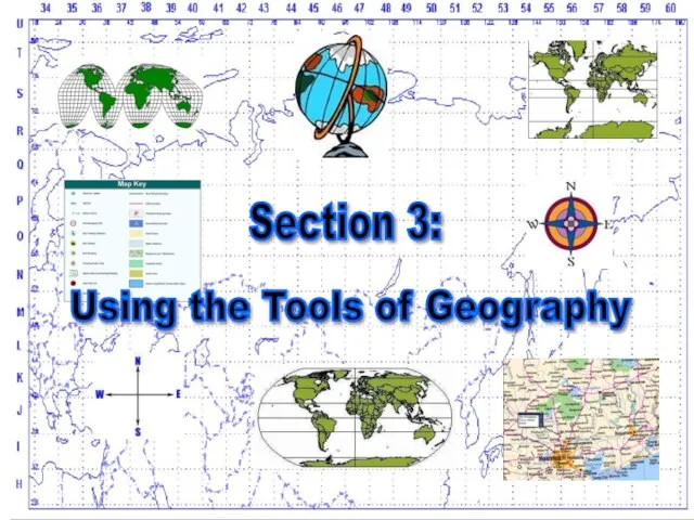
Слайд 32Section 3:
Using the Tools of Geography
Section 3:
Using the Tools of Geography
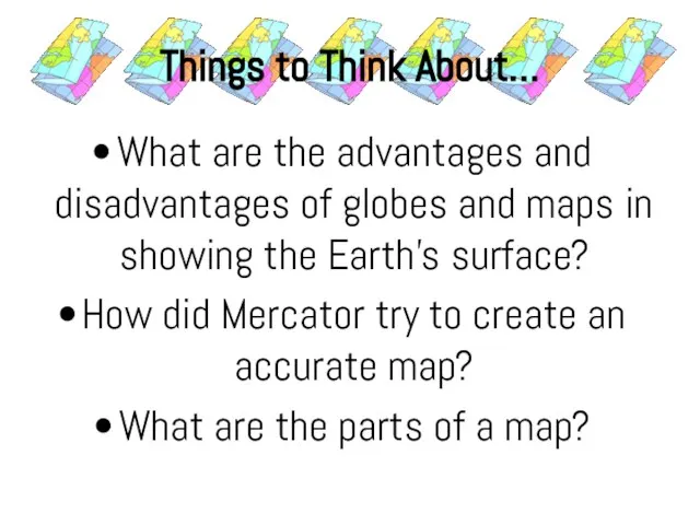
Слайд 33Things to Think About…
What are the advantages and disadvantages of globes and
Things to Think About…
What are the advantages and disadvantages of globes and
Слайд 34Globes & Maps
As people explored the earth they collected information about the
Globes & Maps
As people explored the earth they collected information about the
Слайд 351569- Gerhardus Mercator created flat map to help sailors
He expanded the area
1569- Gerhardus Mercator created flat map to help sailors
He expanded the area
Слайд 36Other techniques-interrupted projection-show accurate shape of land on flat surface
Many believe Arthur
Other techniques-interrupted projection-show accurate shape of land on flat surface
Many believe Arthur
Слайд 37Making Maps
Making Maps
Слайд 38Parts of a Map
•Map symbols allow people to read and
understand
Parts of a Map
•Map symbols allow people to read and
understand
Слайд 39Parts of a Map
Certain symbols on maps are used to indicate landmarks
Parts of a Map
Certain symbols on maps are used to indicate landmarks
Слайд 40Parts
of
a
Map
Parts
of
a
Map
Слайд 42Review…
Gerhardus Mercator
Distortion
Scale
What is the main problem with the interrupted projection?
Why are the
Review…
Gerhardus Mercator
Distortion
Scale
What is the main problem with the interrupted projection?
Why are the
 Характеристика детей с ЗПР. Неблагоприятные семейные факторы влияющие на ребенка с ЗПР
 road monitoring 2020
 Круги на полях
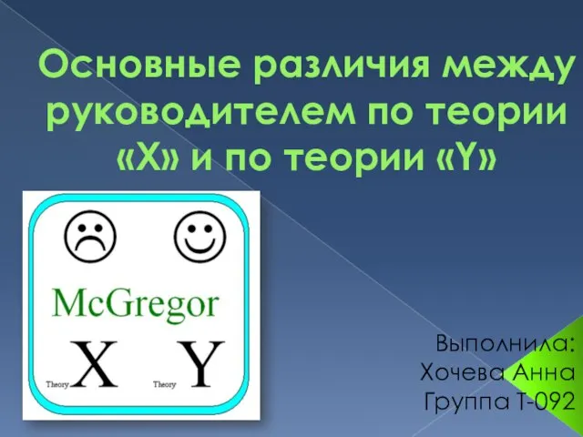 Основные различия между руководителем по теории «Х» и по теории «Y»
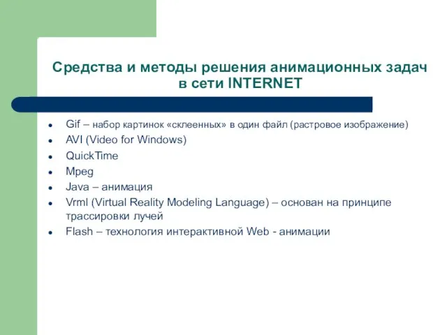 Средства и методы решения анимационных задачв сети INTERNET
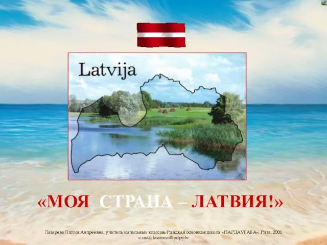 Презентация на тему ЛАТВИЯ
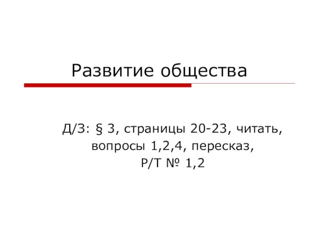 Развитие общества
 18.02.2008 г.
 Луг и его обитатели
 Стратегия по всем каналам: индивидуальный подход к каждому партнеру
 Пути реализации инклюзивного образования средствами инновационной деятельности
 Документационное обеспечение управления и фукционирование организации
 Игрушки из полхов-майдана
 Ювенальная юстиция «за» и «против»
 С Днём матери
 Графики линейных функций
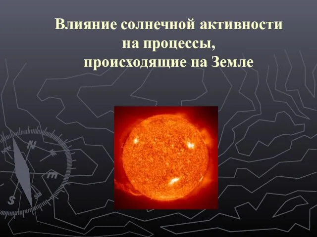 Презентация на тему Влияние солнечной активности на процессы, происходящие на Земле
 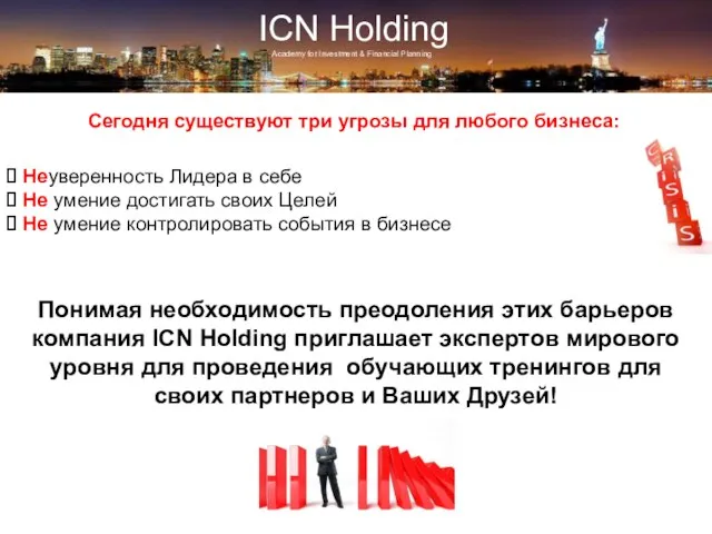 ICN Holding
 Феномен канона в искусстве Древнего Египта
 Общество как сложная динамичная система
 Социальные сети Презентацию разработала ученица 11 класса «А» Рязанова Анастасия.
 New Jersey Employment Law Attorneys
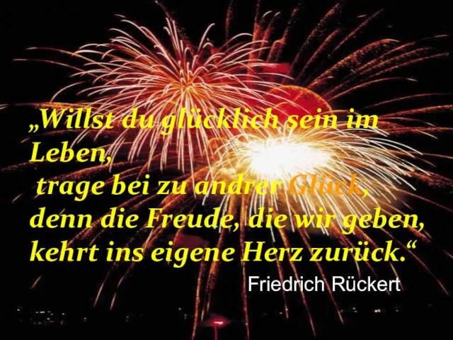 Willst du glücklich sein im Leben, trage bei zu andrer Glück, denn die Freude, die wir geben, kehrt ins eigene Herz zurück. Willst du glücklich sein im. - презентация
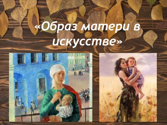 Образ матери в искусстве
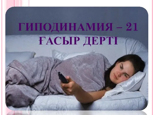 Гиподинамия
 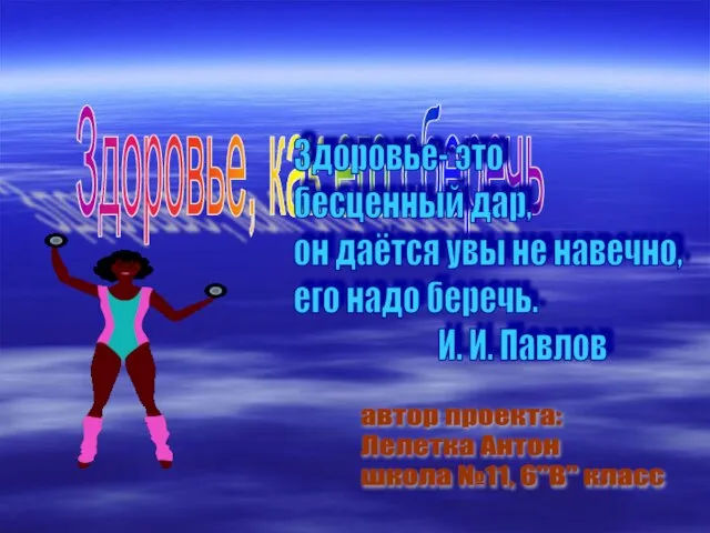 Здоровье, как его сберечь
 Презентация на тему Возникновение искусства и религиозных верований
  Городской центр социальных и спортивных программ г. Севастополя Детско-юношеский клуб Салют